Distance to Plymouth, Michigan

Calculating Your Route
Just a moment while we process your request...
Location Information
-
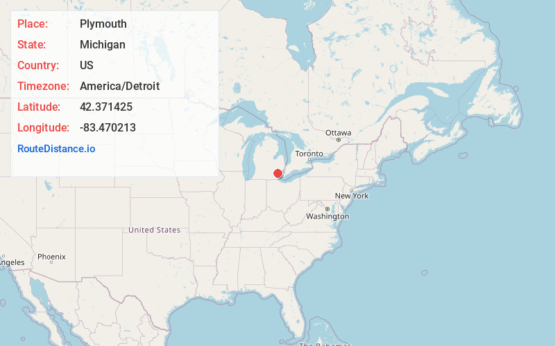
Full AddressPlymouth, MI 48170
-
Coordinates42.3714253, -83.4702132
-
LocationPlymouth , Michigan , US
-
TimezoneAmerica/Detroit
-
Current Local Time5:29:11 AM America/DetroitSaturday, May 31, 2025
-
Website
-
Page Views0
About Plymouth
Plymouth is a city in Wayne County in the U.S. state of Michigan. A western suburb of Detroit, Plymouth is located roughly 27 miles northwest of downtown Detroit, and 18 miles northeast of Ann Arbor. As of the 2020 census, the city had a population of 9,370. It is surrounded by, but independent of, Plymouth Township.


Nearby Places
Found 10 places within 50 miles

Westland
4.8 mi
7.7 km
Westland, MI
Get directions

Livonia
6.0 mi
9.7 km
Livonia, MI
Get directions

Novi
7.5 mi
12.1 km
Novi, MI
Get directions

Wayne
7.6 mi
12.2 km
Wayne, MI 48184
Get directions

Garden City
7.8 mi
12.6 km
Garden City, MI 48135
Get directions

Inkster
9.8 mi
15.8 km
Inkster, MI 48141
Get directions

Farmington Hills
10.2 mi
16.4 km
Farmington Hills, MI
Get directions

Dearborn Heights
10.3 mi
16.6 km
Dearborn Heights, MI
Get directions

Romulus
11.0 mi
17.7 km
Romulus, MI
Get directions

South Lyon
11.1 mi
17.9 km
South Lyon, MI 48178
Get directions
Location Links
Local Weather
Weather Information
Coming soon!
Location Map
Static map view of Plymouth, Michigan
Browse Places by Distance
Places within specific distances from Plymouth
Short Distances
Long Distances
Click any distance to see all places within that range from Plymouth. Distances shown in miles (1 mile ≈ 1.61 kilometers).