Distance to Plymouth, Washington

Calculating Your Route
Just a moment while we process your request...
Location Information
-
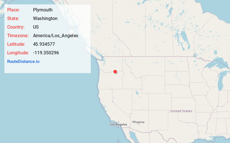
Full AddressPlymouth, WA 99346
-
Coordinates45.9345771, -119.350296
-
LocationPlymouth , Washington , US
-
TimezoneAmerica/Los_Angeles
-
Current Local Time2:54:39 AM America/Los_AngelesWednesday, June 4, 2025
-
Page Views0
About Plymouth
Plymouth is an unincorporated community in Benton County, Washington, United States. Plymouth is located on the Columbia River across from Umatilla, Oregon. It is south of the Tri-Cities and is served by Interstate 82. It was named by early settlers who felt a nearby rock promontory resembled Plymouth Rock.


Nearby Places
Found 10 places within 50 miles

Umatilla
1.2 mi
1.9 km
Umatilla, OR
Get directions

Hermiston
7.1 mi
11.4 km
Hermiston, OR
Get directions

Irrigon
7.5 mi
12.1 km
Irrigon, OR 97844
Get directions

Riverview
8.2 mi
13.2 km
Riverview, OR 97838
Get directions

Cold Springs
9.7 mi
15.6 km
Cold Springs, OR 97838
Get directions

Stanfield
12.4 mi
20.0 km
Stanfield, OR
Get directions

Echo
15.2 mi
24.5 km
Echo, OR 97826
Get directions

Highland
17.7 mi
28.5 km
Highland, WA 99337
Get directions

Boardman
18.1 mi
29.1 km
Boardman, OR 97818
Get directions

Badger
18.4 mi
29.6 km
Badger, WA 99320
Get directions
Location Links
Local Weather
Weather Information
Coming soon!
Location Map
Static map view of Plymouth, Washington
Browse Places by Distance
Places within specific distances from Plymouth
Short Distances
Long Distances
Click any distance to see all places within that range from Plymouth. Distances shown in miles (1 mile ≈ 1.61 kilometers).