Distance to Plymouth Notch, Vermont

Calculating Your Route
Just a moment while we process your request...
Location Information
-
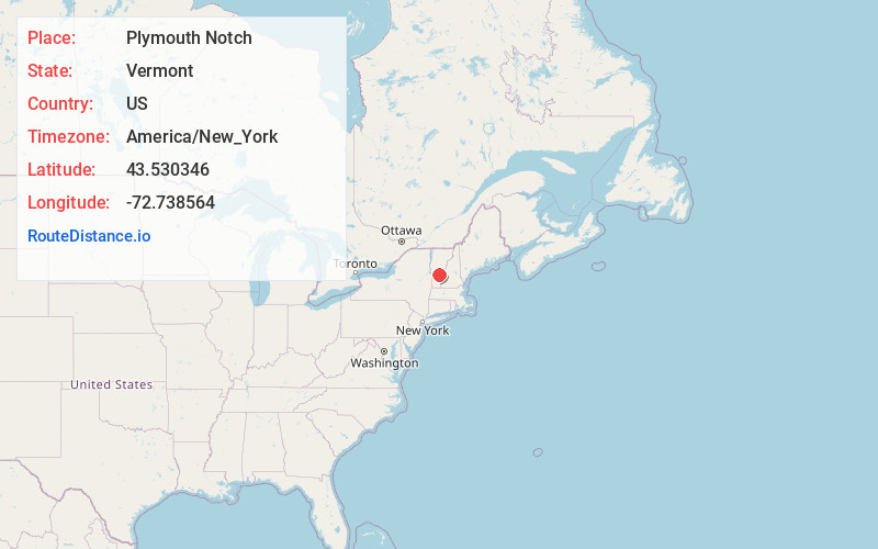
Full AddressPlymouth Notch, Plymouth, VT 05056
-
Coordinates43.5303463, -72.7385635
-
NeighborhoodPlymouth Notch
-
LocationPlymouth , Vermont , US
-
TimezoneAmerica/New_York
-
Current Local Time11:45:16 AM America/New_YorkTuesday, June 3, 2025
-
Page Views0
About Plymouth Notch
Plymouth Notch is an unincorporated community in the town of Plymouth, Windsor County, Vermont, United States. All or most of the village is included in the Calvin Coolidge Homestead District, a National Historic Landmark.
Nearby Places
Found 10 places within 50 miles

Plymouth
0.9 mi
1.4 km
Plymouth, VT
Get directions

Shrewsbury
6.6 mi
10.6 km
Shrewsbury, VT 05738
Get directions

Bridgewater
6.9 mi
11.1 km
Bridgewater, VT
Get directions

Mt Holly
7.2 mi
11.6 km
Mt Holly, VT
Get directions

Reading
7.9 mi
12.7 km
Reading, VT
Get directions

Ludlow
9.5 mi
15.3 km
Ludlow, VT
Get directions

Killington
10.4 mi
16.7 km
Killington, VT
Get directions

Cavendish
10.9 mi
17.5 km
Cavendish, VT
Get directions
West Woodstock Dam
10.9 mi
17.5 km
West Woodstock Dam, Woodstock, VT 05091
Get directions
Clarendon
11.6 mi
18.7 km
Clarendon, VT
Get directions
Location Links
Local Weather
Weather Information
Coming soon!
Location Map
Static map view of Plymouth Notch, Vermont
Browse Places by Distance
Places within specific distances from Plymouth Notch
Short Distances
Long Distances
Click any distance to see all places within that range from Plymouth Notch. Distances shown in miles (1 mile ≈ 1.61 kilometers).