Distance to Mt Holly, Vermont

Calculating Your Route
Just a moment while we process your request...
Location Information
-
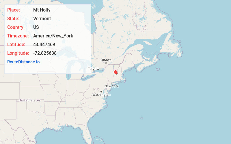
Full AddressMt Holly, VT
-
Coordinates43.4474694, -72.8256382
-
LocationMt Holly , Vermont , US
-
TimezoneAmerica/New_York
-
Current Local Time6:34:37 AM America/New_YorkThursday, June 5, 2025
-
Page Views0
About Mt Holly
Mount Holly is a town in Rutland County, Vermont, United States. It includes the hamlets of Belmont, Healdville, Hortonville, and Tarbellville. The population was 1,385 at the 2020 census.
Nearby Places
Found 10 places within 50 miles

Shrewsbury
4.7 mi
7.6 km
Shrewsbury, VT 05738
Get directions

Ludlow
7.2 mi
11.6 km
Ludlow, VT
Get directions

Wallingford
7.8 mi
12.6 km
Wallingford, VT
Get directions

Clarendon
10.7 mi
17.2 km
Clarendon, VT
Get directions

Cavendish
12.0 mi
19.3 km
Cavendish, VT
Get directions

Rutland
13.5 mi
21.7 km
Rutland, VT 05701
Get directions

West Rutland
14.9 mi
24.0 km
West Rutland, VT
Get directions

Londonderry
15.3 mi
24.6 km
Londonderry, VT
Get directions

Chester
17.2 mi
27.7 km
Chester, VT 05143
Get directions

Proctor
18.1 mi
29.1 km
Proctor, VT
Get directions
Location Links
Local Weather
Weather Information
Coming soon!
Location Map
Static map view of Mt Holly, Vermont
Browse Places by Distance
Places within specific distances from Mt Holly
Short Distances
Long Distances
Click any distance to see all places within that range from Mt Holly. Distances shown in miles (1 mile ≈ 1.61 kilometers).