Distance to Point Reyes National Seashore, California

Calculating Your Route
Just a moment while we process your request...
Location Information
-
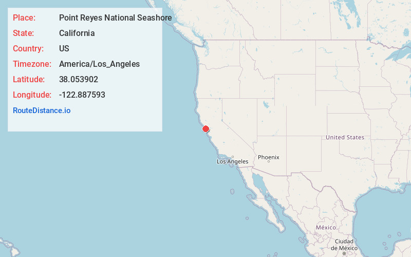
Full AddressPoint Reyes National Seashore, California
-
Coordinates38.0539019, -122.8875934
-
LocationCalifornia , US
-
TimezoneAmerica/Los_Angeles
-
Current Local Time12:45:36 PM America/Los_AngelesSaturday, June 28, 2025
-
Website
-
Page Views0
About Point Reyes National Seashore
71,000-acre park boasts a visitor center, hiking trails, expansive beaches & panoramic water views.


Nearby Places
Found 10 places within 50 miles

Inverness
3.7 mi
6.0 km
Inverness, CA
Get directions

Bivalve
4.3 mi
6.9 km
Bivalve, CA 94956
Get directions

Point Reyes Station
4.5 mi
7.2 km
Point Reyes Station, CA 94956
Get directions

Olema
5.5 mi
8.9 km
Olema, CA 94956
Get directions
Marconi
6.2 mi
10.0 km
Marconi, CA 94940
Get directions

Tocaloma
7.1 mi
11.4 km
Tocaloma, CA 94956
Get directions

Lairds Landing
7.3 mi
11.7 km
Lairds Landing, CA 94937
Get directions

Marshall
7.6 mi
12.2 km
Marshall, CA 94940
Get directions
Jewell
7.8 mi
12.6 km
Jewell, CA 94946
Get directions

Five Brooks
8.0 mi
12.9 km
Five Brooks, CA 94924
Get directions
Location Links
Local Weather
Weather Information
Coming soon!
Location Map
Static map view of Point Reyes National Seashore, California
Browse Places by Distance
Places within specific distances from Point Reyes National Seashore
Short Distances
Long Distances
Click any distance to see all places within that range from Point Reyes National Seashore. Distances shown in miles (1 mile ≈ 1.61 kilometers).