Distance to Inverness, California

Calculating Your Route
Just a moment while we process your request...
Location Information
-
Full AddressInverness, CA
-
Coordinates38.1010337, -122.8569377
-
LocationInverness , California , US
-
TimezoneAmerica/Los_Angeles
-
Current Local Time12:43:47 AM America/Los_AngelesTuesday, June 10, 2025
-
Page Views0
About Inverness
Inverness is an unincorporated community and census-designated place in western Marin County, California, United States. It is located on the southwest shore of Tomales Bay 3.5 miles northwest of Point Reyes Station and about 40 miles by road northwest of San Francisco, at an elevation of 43 feet.


Nearby Places
Found 10 places within 50 miles

Lagunitas-Forest Knolls
10.7 mi
17.2 km
Lagunitas-Forest Knolls, CA
Get directions

Petaluma
15.0 mi
24.1 km
Petaluma, CA
Get directions

Novato
15.6 mi
25.1 km
Novato, CA
Get directions

Sleepy Hollow
16.1 mi
25.9 km
Sleepy Hollow, CA
Get directions

Lucas Valley-Marinwood
16.5 mi
26.6 km
Lucas Valley-Marinwood, CA 94903
Get directions

Fairfax
16.6 mi
26.7 km
Fairfax, CA
Get directions

Penngrove
17.2 mi
27.7 km
Penngrove, CA
Get directions

Cotati
17.7 mi
28.5 km
Cotati, CA 94931
Get directions

San Anselmo
18.3 mi
29.5 km
San Anselmo, CA 94960
Get directions

Rohnert Park
18.5 mi
29.8 km
Rohnert Park, CA
Get directions
Location Links
Local Weather
Weather Information
Coming soon!
Location Map
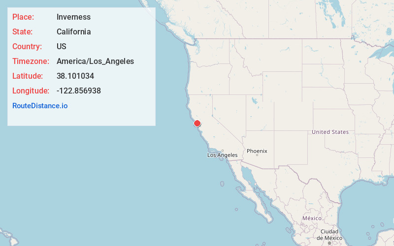
Static map view of Inverness, California
Browse Places by Distance
Places within specific distances from Inverness
Short Distances
Long Distances
Click any distance to see all places within that range from Inverness. Distances shown in miles (1 mile ≈ 1.61 kilometers).