Distance to Lagunitas-Forest Knolls, California

Calculating Your Route
Just a moment while we process your request...
Location Information
-
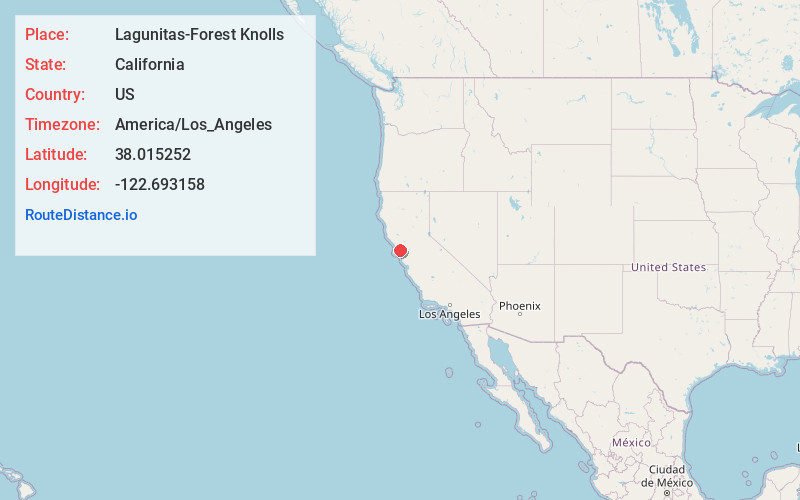
Full AddressLagunitas-Forest Knolls, CA
-
Coordinates38.0152522, -122.6931583
-
LocationLagunitas-Forest Knolls , California , US
-
TimezoneAmerica/Los_Angeles
-
Current Local Time2:52:43 PM America/Los_AngelesThursday, June 5, 2025
-
Page Views0
About Lagunitas-Forest Knolls
Lagunitas-Forest Knolls is a census-designated place, composed of two unincorporated areas in the western half of the San Geronimo Valley in Marin County, California. It is located to the west of San Geronimo and Woodacre. The population was 1,924 at the 2020 census.
The two towns are locally seen as separate.


Nearby Places
Found 10 places within 50 miles

Sleepy Hollow
5.9 mi
9.5 km
Sleepy Hollow, CA
Get directions

Fairfax
6.0 mi
9.7 km
Fairfax, CA
Get directions

Lucas Valley-Marinwood
7.1 mi
11.4 km
Lucas Valley-Marinwood, CA 94903
Get directions

San Anselmo
7.7 mi
12.4 km
San Anselmo, CA 94960
Get directions

Ross
8.4 mi
13.5 km
Ross, CA
Get directions

Kentfield
8.6 mi
13.8 km
Kentfield, CA
Get directions

Santa Venetia
9.2 mi
14.8 km
Santa Venetia, CA
Get directions

Novato
9.3 mi
15.0 km
Novato, CA
Get directions

San Rafael
9.3 mi
15.0 km
San Rafael, CA
Get directions

Larkspur
10.3 mi
16.6 km
Larkspur, CA
Get directions
Location Links
Local Weather
Weather Information
Coming soon!
Location Map
Static map view of Lagunitas-Forest Knolls, California
Browse Places by Distance
Places within specific distances from Lagunitas-Forest Knolls
Short Distances
Long Distances
Click any distance to see all places within that range from Lagunitas-Forest Knolls. Distances shown in miles (1 mile ≈ 1.61 kilometers).