Distance to Sleepy Hollow, California

Calculating Your Route
Just a moment while we process your request...
Location Information
-
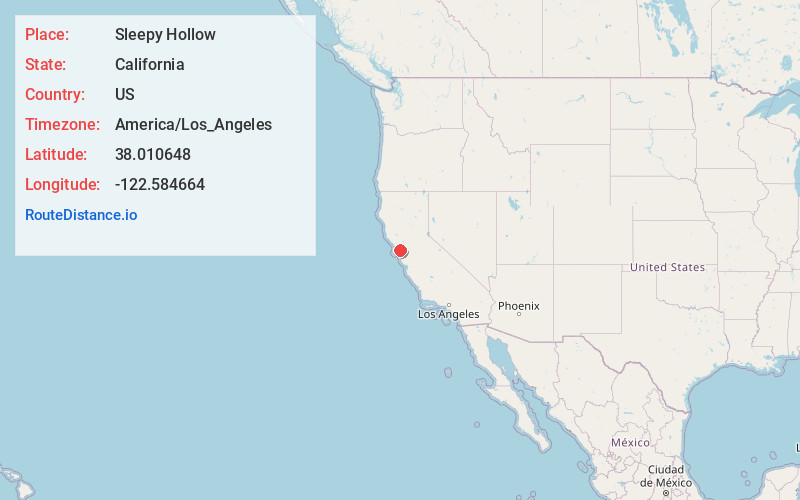
Full AddressSleepy Hollow, CA
-
Coordinates38.0106484, -122.5846638
-
LocationSleepy Hollow , California , US
-
TimezoneAmerica/Los_Angeles
-
Current Local Time5:01:24 AM America/Los_AngelesSunday, June 8, 2025
-
Page Views0
About Sleepy Hollow
Sleepy Hollow is a census-designated place in Marin County, California, United States. It is located 7 miles south of downtown Novato at an elevation of 177 feet. Its population as of the 2020 census was 2,401.


Nearby Places
Found 10 places within 50 miles

Fairfax
1.6 mi
2.6 km
Fairfax, CA
Get directions

Lucas Valley-Marinwood
2.0 mi
3.2 km
Lucas Valley-Marinwood, CA 94903
Get directions

San Anselmo
2.8 mi
4.5 km
San Anselmo, CA 94960
Get directions

Santa Venetia
3.3 mi
5.3 km
Santa Venetia, CA
Get directions

San Rafael
3.9 mi
6.3 km
San Rafael, CA
Get directions

Kentfield
4.3 mi
6.9 km
Kentfield, CA
Get directions

Larkspur
5.9 mi
9.5 km
Larkspur, CA
Get directions

Corte Madera
6.7 mi
10.8 km
Corte Madera, CA
Get directions

Novato
6.7 mi
10.8 km
Novato, CA
Get directions

Mill Valley
7.5 mi
12.1 km
Mill Valley, CA 94941
Get directions
Location Links
Local Weather
Weather Information
Coming soon!
Location Map
Static map view of Sleepy Hollow, California
Browse Places by Distance
Places within specific distances from Sleepy Hollow
Short Distances
Long Distances
Click any distance to see all places within that range from Sleepy Hollow. Distances shown in miles (1 mile ≈ 1.61 kilometers).