Distance to Pomona, New York

Calculating Your Route
Just a moment while we process your request...
Location Information
-
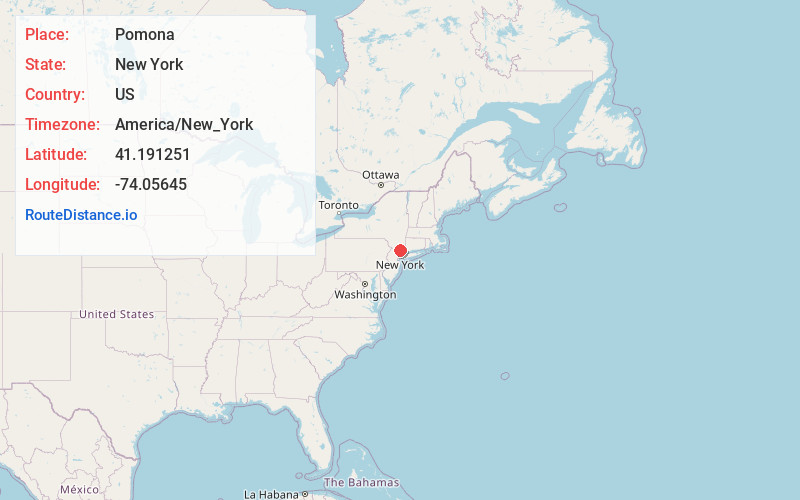
Full AddressPomona, NY
-
Coordinates41.1912507, -74.0564499
-
LocationPomona , New York , US
-
TimezoneAmerica/New_York
-
Current Local Time2:26:09 AM America/New_YorkWednesday, June 18, 2025
-
Page Views0
About Pomona
Pomona is a village partly in the town of Ramapo and partly in the town of Haverstraw in Rockland County, New York, United States. It is located north of New Hempstead, east of Harriman State Park, north of Monsey and west of Mount Ivy.


Nearby Places
Found 10 places within 50 miles

Mt Ivy
1.2 mi
1.9 km
Mt Ivy, NY
Get directions

Wesley Hills
2.3 mi
3.7 km
Wesley Hills, NY
Get directions

Thiells
2.4 mi
3.9 km
Thiells, NY
Get directions

Summit Park
2.5 mi
4.0 km
Summit Park, New Hempstead, NY 10977
Get directions

New Hempstead
2.8 mi
4.5 km
New Hempstead, NY
Get directions
Lake Lucille
3.2 mi
5.1 km
Lake Lucille, New City, NY 10956
Get directions
Cedar Flats
3.8 mi
6.1 km
Cedar Flats, Stony Point, NY 10980
Get directions

New Square
3.9 mi
6.3 km
New Square, NY
Get directions

West Haverstraw
3.9 mi
6.3 km
West Haverstraw, NY
Get directions

Stony Point
4.5 mi
7.2 km
Stony Point, NY 10980
Get directions
Location Links
Local Weather
Weather Information
Coming soon!
Location Map
Static map view of Pomona, New York
Browse Places by Distance
Places within specific distances from Pomona
Short Distances
Long Distances
Click any distance to see all places within that range from Pomona. Distances shown in miles (1 mile ≈ 1.61 kilometers).