Distance to Mt Ivy, New York

Calculating Your Route
Just a moment while we process your request...
Location Information
-
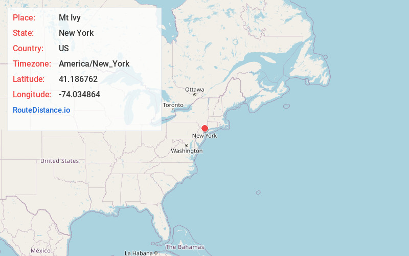
Full AddressMt Ivy, NY
-
Coordinates41.1867615, -74.0348636
-
LocationMt Ivy , New York , US
-
TimezoneAmerica/New_York
-
Current Local Time5:17:24 AM America/New_YorkWednesday, June 18, 2025
-
Page Views0
About Mt Ivy
Mount Ivy is a hamlet and census-designated place in the Town of Haverstraw, in Rockland County, New York, United States. It is located north of New City, east of Pomona, south of Thiells, and west of Garnerville. The population was 6,878 at the 2010 census.


Nearby Places
Found 10 places within 50 miles

West Haverstraw
3.0 mi
4.8 km
West Haverstraw, NY
Get directions

New Square
3.3 mi
5.3 km
New Square, NY
Get directions

New City
3.6 mi
5.8 km
New City, NY
Get directions

Haverstraw
3.7 mi
6.0 km
Haverstraw, NY 10927
Get directions

Stony Point
3.9 mi
6.3 km
Stony Point, NY 10980
Get directions

Spring Valley
5.1 mi
8.2 km
Spring Valley, NY
Get directions

Clarkstown
5.7 mi
9.2 km
Clarkstown, NY
Get directions

Valley Cottage
6.3 mi
10.1 km
Valley Cottage, NY
Get directions

Chestnut Ridge
7.2 mi
11.6 km
Chestnut Ridge, NY
Get directions

Airmont
7.3 mi
11.7 km
Airmont, NY
Get directions
Location Links
Local Weather
Weather Information
Coming soon!
Location Map
Static map view of Mt Ivy, New York
Browse Places by Distance
Places within specific distances from Mt Ivy
Short Distances
Long Distances
Click any distance to see all places within that range from Mt Ivy. Distances shown in miles (1 mile ≈ 1.61 kilometers).