Distance to Haverstraw, New York

Calculating Your Route
Just a moment while we process your request...
Location Information
-
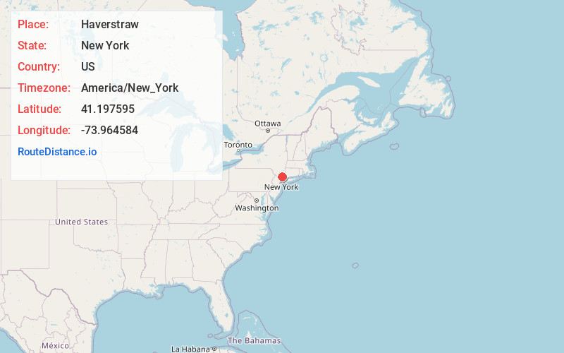
Full AddressHaverstraw, NY 10927
-
Coordinates41.1975947, -73.9645837
-
LocationHaverstraw , New York , US
-
TimezoneAmerica/New_York
-
Current Local Time1:54:35 AM America/New_YorkWednesday, June 18, 2025
-
Page Views0
About Haverstraw
Haverstraw is a town in Rockland County, New York, United States, located north of the Town of Clarkstown and the Town of Ramapo; east of Orange County; south of the Town of Stony Point; and west of the Hudson River. The town runs from the west to the east border of the county in its northern section.


Nearby Places
Found 10 places within 50 miles

Clarkstown
5.0 mi
8.0 km
Clarkstown, NY
Get directions

Ossining
5.9 mi
9.5 km
Ossining, NY
Get directions

Cortlandt Manor
7.5 mi
12.1 km
Cortlandt Manor, NY 10567
Get directions

Mt Pleasant
10.0 mi
16.1 km
Mt Pleasant, NY
Get directions

Orangetown
10.5 mi
16.9 km
Orangetown, NY
Get directions

Greenburgh
12.4 mi
20.0 km
Greenburgh, NY
Get directions

Kiryas Joel
14.5 mi
23.3 km
Kiryas Joel, NY
Get directions

White Plains
15.4 mi
24.8 km
White Plains, NY
Get directions

Yonkers
18.7 mi
30.1 km
Yonkers, NY
Get directions

Fair Lawn
20.1 mi
32.3 km
Fair Lawn, NJ
Get directions
Location Links
Local Weather
Weather Information
Coming soon!
Location Map
Static map view of Haverstraw, New York
Browse Places by Distance
Places within specific distances from Haverstraw
Short Distances
Long Distances
Click any distance to see all places within that range from Haverstraw. Distances shown in miles (1 mile ≈ 1.61 kilometers).