Distance to Pondtown, Virginia

Calculating Your Route
Just a moment while we process your request...
Location Information
-
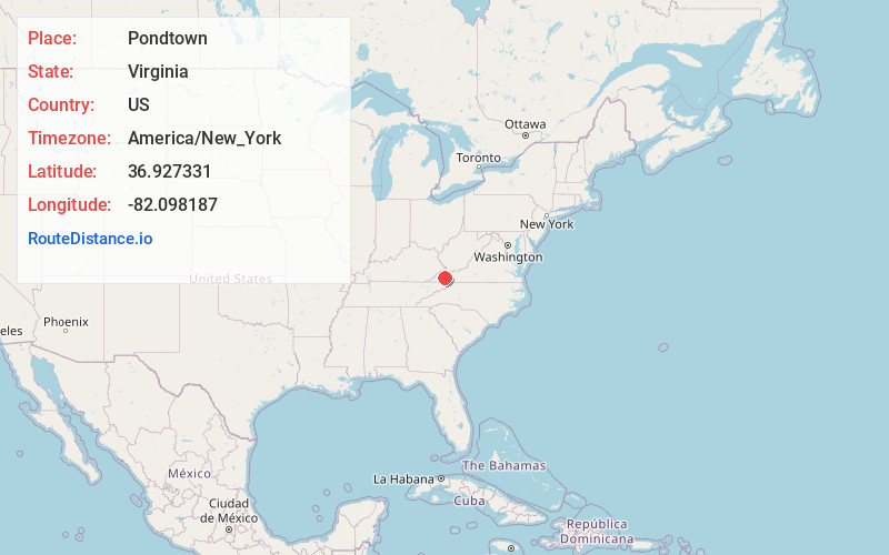
Full AddressPondtown, VA 24225
-
Coordinates36.9273306, -82.0981873
-
LocationVirginia , US
-
TimezoneAmerica/New_York
-
Current Local Time8:52:58 PM America/New_YorkWednesday, June 4, 2025
-
Page Views0
Nearby Places
Found 10 places within 50 miles

Lebanon
2.1 mi
3.4 km
Lebanon, VA 24266
Get directions

Artrip
2.8 mi
4.5 km
Artrip, VA 24225
Get directions

Cleveland
3.2 mi
5.1 km
Cleveland, VA 24225
Get directions
Nash Ford
3.2 mi
5.1 km
Nash Ford, VA 24260
Get directions
Stone Bruise
3.5 mi
5.6 km
Stone Bruise, VA 24266
Get directions

Russell County
4.4 mi
7.1 km
Russell County, VA
Get directions
South Clinchfield
4.9 mi
7.9 km
South Clinchfield, VA 24225
Get directions
Coulwood
5.2 mi
8.4 km
Coulwood, VA 24260
Get directions
Carbo
5.3 mi
8.5 km
Carbo, VA 24225
Get directions
Barnett
5.4 mi
8.7 km
Barnett, VA 24266
Get directions
Location Links
Local Weather
Weather Information
Coming soon!
Location Map
Static map view of Pondtown, Virginia
Browse Places by Distance
Places within specific distances from Pondtown
Short Distances
Long Distances
Click any distance to see all places within that range from Pondtown. Distances shown in miles (1 mile ≈ 1.61 kilometers).