Distance to Port Angeles East, Washington

Calculating Your Route
Just a moment while we process your request...
Location Information
-
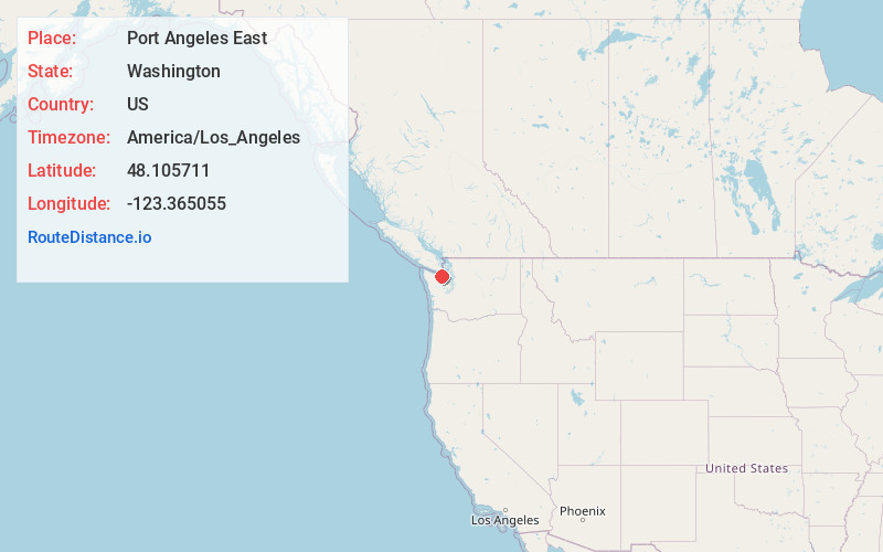
Full AddressPort Angeles East, WA
-
Coordinates48.1057109, -123.3650553
-
LocationPort Angeles East , Washington , US
-
TimezoneAmerica/Los_Angeles
-
Current Local Time6:15:30 PM America/Los_AngelesSunday, June 22, 2025
-
Page Views0
About Port Angeles East
Port Angeles East is a census-designated place in Clallam County, Washington, and part of the Port Angeles micropolitan area, in the United States. The population was 3,036 at the 2010 census. This unincorporated urban growth area bordering the city of Port Angeles is known by locals as the Gales Addition.


Nearby Places
Found 10 places within 50 miles

Crane
2.0 mi
3.2 km
Crane, WA 98362
Get directions

Port Angeles
3.1 mi
5.0 km
Port Angeles, WA
Get directions
R Corner
4.2 mi
6.8 km
R Corner, WA 98362
Get directions
Little Oklahoma
5.1 mi
8.2 km
Little Oklahoma, WA 98362
Get directions

Agnew
5.4 mi
8.7 km
Agnew, WA 98362
Get directions
King Hill
6.3 mi
10.1 km
King Hill, WA 98362
Get directions

Carlsborg
9.0 mi
14.5 km
Carlsborg, WA 98382
Get directions
Lower Elwha
9.1 mi
14.6 km
Lower Elwha, WA 98363
Get directions
Elwha
11.0 mi
17.7 km
Elwha, WA 98363
Get directions

Dungeness Spit
11.1 mi
17.9 km
Dungeness Spit, Washington 98382
Get directions
Location Links
Local Weather
Weather Information
Coming soon!
Location Map
Static map view of Port Angeles East, Washington
Browse Places by Distance
Places within specific distances from Port Angeles East
Short Distances
Long Distances
Click any distance to see all places within that range from Port Angeles East. Distances shown in miles (1 mile ≈ 1.61 kilometers).