Distance to Port Austin, Michigan

Calculating Your Route
Just a moment while we process your request...
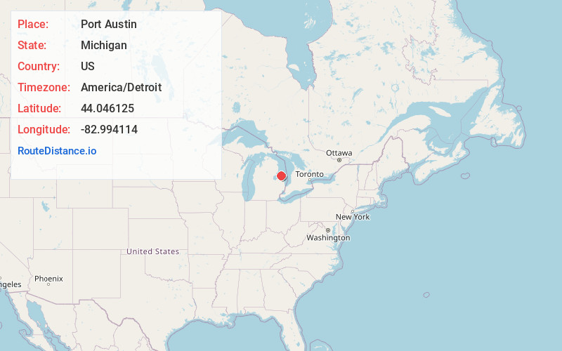
Location Information
-
Full AddressPort Austin, MI 48467
-
Coordinates44.0461253, -82.994114
-
LocationPort Austin , Michigan , US
-
TimezoneAmerica/Detroit
-
Current Local Time8:15:15 PM America/DetroitWednesday, June 18, 2025
-
Page Views0
About Port Austin
Port Austin is a village in Huron County in the U.S. state of Michigan. The population was 664 at the 2010 census. The village is within Port Austin Township.


Nearby Places
Found 10 places within 50 miles

Bad Axe
16.9 mi
27.2 km
Bad Axe, MI 48413
Get directions

Elkton
18.2 mi
29.3 km
Elkton, MI 48731
Get directions

Pigeon
20.3 mi
32.7 km
Pigeon, MI 48755
Get directions

Harbor Beach
22.0 mi
35.4 km
Harbor Beach, MI 48441
Get directions

Ubly
23.4 mi
37.7 km
Ubly, MI 48475
Get directions

East Tawas
29.4 mi
47.3 km
East Tawas, MI 48730
Get directions

Tawas City
30.1 mi
48.4 km
Tawas City, MI 48763
Get directions
Au Sable
30.1 mi
48.4 km
Au Sable, MI 48750
Get directions

Sebewaing
31.4 mi
50.5 km
Sebewaing, MI 48759
Get directions

Cass City
32.1 mi
51.7 km
Cass City, MI 48726
Get directions
Location Links
Local Weather
Weather Information
Coming soon!
Location Map
Static map view of Port Austin, Michigan
Browse Places by Distance
Places within specific distances from Port Austin
Short Distances
Long Distances
Click any distance to see all places within that range from Port Austin. Distances shown in miles (1 mile ≈ 1.61 kilometers).