Distance to Port Blakely, Washington

Calculating Your Route
Just a moment while we process your request...
Location Information
-
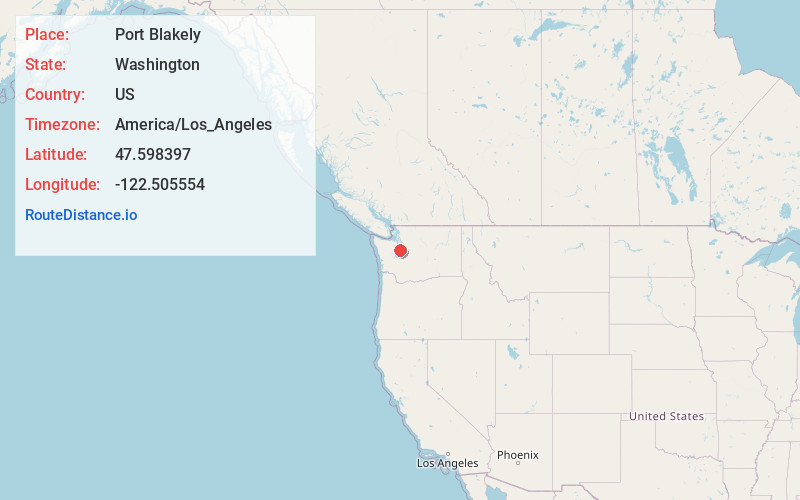
Full AddressPort Blakely, WA 98110
-
Coordinates47.598397, -122.5055535
-
NeighborhoodPort Blakely
-
LocationPort Blakely , Washington , US
-
TimezoneAmerica/Los_Angeles
-
Current Local Time10:36:02 PM America/Los_AngelesMonday, June 9, 2025
-
Page Views0
About Port Blakely
Port Blakely is a community of Bainbridge Island, Washington in the western United States. It is located on the east side of the island, slightly to the south.
Nearby Places
Found 10 places within 50 miles

Wautauga Beach
2.2 mi
3.5 km
Wautauga Beach, WA 98366
Get directions

Waterman Point
3.1 mi
5.0 km
Waterman Point, WA 98366
Get directions

Manchester
3.5 mi
5.6 km
Manchester, WA
Get directions
Waterman
3.9 mi
6.3 km
Waterman, WA 98366
Get directions

Enetai
4.4 mi
7.1 km
Enetai, WA 98310
Get directions

Southworth
6.0 mi
9.7 km
Southworth, WA
Get directions
Meadowdale
6.1 mi
9.8 km
Meadowdale, WA 98311
Get directions

Bremerton
6.1 mi
9.8 km
Bremerton, WA
Get directions
Parkwood
6.5 mi
10.5 km
Parkwood, WA 98366
Get directions

Brownsville
6.5 mi
10.5 km
Brownsville, WA 98370
Get directions
Location Links
Local Weather
Weather Information
Coming soon!
Location Map
Static map view of Port Blakely, Washington
Browse Places by Distance
Places within specific distances from Port Blakely
Short Distances
Long Distances
Click any distance to see all places within that range from Port Blakely. Distances shown in miles (1 mile ≈ 1.61 kilometers).