Distance to Port Costa, California

Calculating Your Route
Just a moment while we process your request...
Location Information
-
Full AddressPort Costa, CA 94569
-
Coordinates38.0463097, -122.1833005
-
LocationPort Costa , California , US
-
TimezoneAmerica/Los_Angeles
-
Current Local Time10:04:02 AM America/Los_AngelesSunday, June 1, 2025
-
Page Views0
About Port Costa
Port Costa is a small town and census-designated place in Contra Costa County, California, located in the East Bay region of the San Francisco Bay Area. Situated on the southern shore of the Carquinez Strait, the population was 190 in 2020 according to the United States Census Bureau.


Nearby Places
Found 10 places within 50 miles

Benicia
1.4 mi
2.3 km
Benicia, CA
Get directions

Crockett
1.7 mi
2.7 km
Crockett, CA 94525
Get directions

Martinez
3.3 mi
5.3 km
Martinez, CA 94553
Get directions

Rodeo
4.6 mi
7.4 km
Rodeo, CA
Get directions

Vallejo
5.6 mi
9.0 km
Vallejo, CA
Get directions

Vine Hill
5.7 mi
9.2 km
Vine Hill, CA 94553
Get directions

Hercules
6.1 mi
9.8 km
Hercules, CA
Get directions
Alhambra Valley
6.3 mi
10.1 km
Alhambra Valley, CA 94553
Get directions

Pinole
6.9 mi
11.1 km
Pinole, CA
Get directions

Pacheco
7.4 mi
11.9 km
Pacheco, CA
Get directions
Location Links
Local Weather
Weather Information
Coming soon!
Location Map
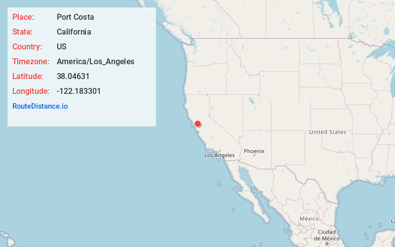
Static map view of Port Costa, California
Browse Places by Distance
Places within specific distances from Port Costa
Short Distances
Long Distances
Click any distance to see all places within that range from Port Costa. Distances shown in miles (1 mile ≈ 1.61 kilometers).