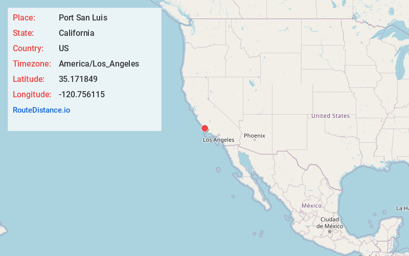
Distance to Port San Luis, California

Calculating Your Route
Just a moment while we process your request...
Location Information
-
Full AddressPort San Luis, California 93405
-
Coordinates35.1718487, -120.756115
-
LocationCalifornia , US
-
TimezoneAmerica/Los_Angeles
-
Current Local Time2:05:42 AM America/Los_AngelesTuesday, July 1, 2025
-
Page Views0


Nearby Places
Found 10 places within 50 miles

Avila Beach
1.5 mi
2.4 km
Avila Beach, CA
Get directions

Sycamore Springs
2.6 mi
4.2 km
Sycamore Springs, Avila Beach, CA 93401
Get directions

Pismo Beach
6.8 mi
10.9 km
Pismo Beach, CA
Get directions
Los Ranchos
7.8 mi
12.6 km
Los Ranchos, CA 93401
Get directions
Edna
8.4 mi
13.5 km
Edna, CA 93401
Get directions

Grover Beach
8.4 mi
13.5 km
Grover Beach, CA
Get directions

San Luis Obispo
9.4 mi
15.1 km
San Luis Obispo, CA
Get directions

Oceano
9.6 mi
15.4 km
Oceano, CA
Get directions

Arroyo Grande
10.0 mi
16.1 km
Arroyo Grande, CA 93420
Get directions

Baywood-Los Osos
10.4 mi
16.7 km
Baywood-Los Osos, CA
Get directions
Location Links
Local Weather
Weather Information
Coming soon!
Location Map
Static map view of Port San Luis, California
Browse Places by Distance
Places within specific distances from Port San Luis
Short Distances
Long Distances
Click any distance to see all places within that range from Port San Luis. Distances shown in miles (1 mile ≈ 1.61 kilometers).