Distance to Port Sheldon, Michigan

Calculating Your Route
Just a moment while we process your request...
Location Information
-
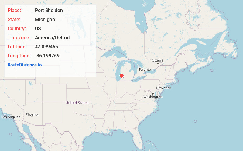
Full AddressPort Sheldon, MI 49460
-
Coordinates42.8994651, -86.1997692
-
LocationPort Sheldon , Michigan , US
-
TimezoneAmerica/Detroit
-
Current Local Time12:21:37 AM America/DetroitMonday, June 23, 2025
-
Page Views0


Nearby Places
Found 10 places within 50 miles

West Olive
3.1 mi
5.0 km
West Olive, MI 49460
Get directions
Agnew
4.7 mi
7.6 km
Agnew, MI 49460
Get directions
Beechwood
8.0 mi
12.9 km
Beechwood, MI
Get directions
Noordeloos Creek
8.8 mi
14.2 km
Noordeloos Creek, Holland Township, MI 49464
Get directions

Holland
8.9 mi
14.3 km
Holland, MI 49423
Get directions

Rosy Mound
9.1 mi
14.6 km
Rosy Mound, Grand Haven Township, MI 49417
Get directions

Castle Park
10.5 mi
16.9 km
Castle Park, Laketown Township, MI 49423
Get directions
Graafschap
10.5 mi
16.9 km
Graafschap, Fillmore Township, MI 49423
Get directions

Zeeland
11.0 mi
17.7 km
Zeeland, MI 49464
Get directions

Grand Haven
11.4 mi
18.3 km
Grand Haven, MI
Get directions
Location Links
Local Weather
Weather Information
Coming soon!
Location Map
Static map view of Port Sheldon, Michigan
Browse Places by Distance
Places within specific distances from Port Sheldon
Short Distances
Long Distances
Click any distance to see all places within that range from Port Sheldon. Distances shown in miles (1 mile ≈ 1.61 kilometers).