Distance to Port Tobacco, Maryland

Calculating Your Route
Just a moment while we process your request...
Location Information
-
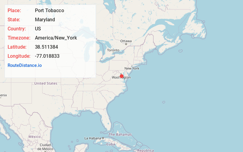
Full AddressPort Tobacco, MD
-
Coordinates38.5113836, -77.018833
-
LocationPort Tobacco , Maryland , US
-
TimezoneAmerica/New_York
-
Current Local Time12:02:36 AM America/New_YorkSunday, June 1, 2025
-
Page Views0
About Port Tobacco
Port Tobacco, officially Port Tobacco Village, is a town in Charles County, Maryland, United States. The population was 13 at the 2010 census, making Port Tobacco the smallest incorporated town in Maryland.
Nearby Places
Found 10 places within 50 miles

La Plata
2.7 mi
4.3 km
La Plata, MD 20646
Get directions

Pomfret
4.3 mi
6.9 km
Pomfret, MD
Get directions

Bennsville
6.8 mi
10.9 km
Bennsville, MD
Get directions

Bryans Road
8.5 mi
13.7 km
Bryans Road, MD
Get directions
Potomac Heights
9.1 mi
14.6 km
Potomac Heights, MD 20640
Get directions

Waldorf
9.9 mi
15.9 km
Waldorf, MD
Get directions

Indian Head
9.9 mi
15.9 km
Indian Head, MD 20640
Get directions

Bryantown
10.0 mi
16.1 km
Bryantown, MD
Get directions

Accokeek
10.8 mi
17.4 km
Accokeek, MD
Get directions

Dahlgren
12.6 mi
20.3 km
Dahlgren, VA 22485
Get directions
Location Links
Local Weather
Weather Information
Coming soon!
Location Map
Static map view of Port Tobacco, Maryland
Browse Places by Distance
Places within specific distances from Port Tobacco
Short Distances
Long Distances
Click any distance to see all places within that range from Port Tobacco. Distances shown in miles (1 mile ≈ 1.61 kilometers).