Distance to Portage, Ohio

Calculating Your Route
Just a moment while we process your request...
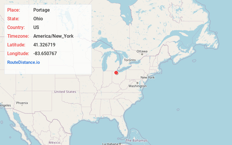
Location Information
-
Full AddressPortage, OH 43451
-
Coordinates41.3267189, -83.6507668
-
LocationPortage , Ohio , US
-
TimezoneAmerica/New_York
-
Current Local Time6:00:52 PM America/New_YorkWednesday, July 2, 2025
-
Page Views0
About Portage
Portage is a village in Wood County, Ohio, United States. The population was 398 at the 2020 census.
Nearby Places
Found 10 places within 50 miles

Bowling Green
3.3 mi
5.3 km
Bowling Green, OH
Get directions

Jerry City
5.6 mi
9.0 km
Jerry City, OH
Get directions

Cygnet
6.0 mi
9.7 km
Cygnet, OH 43413
Get directions

Weston
7.7 mi
12.4 km
Weston, OH 43569
Get directions

Wayne
9.4 mi
15.1 km
Wayne, OH 43466
Get directions
Haskins
10.0 mi
16.1 km
Haskins, OH
Get directions
North Baltimore
10.0 mi
16.1 km
North Baltimore, OH 45872
Get directions
Bradner
11.0 mi
17.7 km
Bradner, OH
Get directions

Pemberville
11.4 mi
18.3 km
Pemberville, OH 43450
Get directions

Bloomdale
11.7 mi
18.8 km
Bloomdale, OH 44817
Get directions
Location Links
Local Weather
Weather Information
Coming soon!
Location Map
Static map view of Portage, Ohio
Browse Places by Distance
Places within specific distances from Portage
Short Distances
Long Distances
Click any distance to see all places within that range from Portage. Distances shown in miles (1 mile ≈ 1.61 kilometers).