Distance to Weston, Ohio

Calculating Your Route
Just a moment while we process your request...
Location Information
-
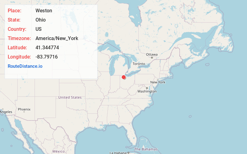
Full AddressWeston, OH 43569
-
Coordinates41.344774, -83.7971603
-
LocationWeston , Ohio , US
-
TimezoneAmerica/New_York
-
Current Local Time9:23:32 AM America/New_YorkSaturday, May 31, 2025
-
Website
-
Page Views0
About Weston
Weston is a village in Wood County, Ohio, United States. The population was 1,455 at the 2020 census. Weston is located just 10 miles west of Bowling Green, Ohio, a university town.


Nearby Places
Found 10 places within 50 miles

Bowling Green
7.8 mi
12.6 km
Bowling Green, OH
Get directions

Deshler
10.9 mi
17.5 km
Deshler, OH 43516
Get directions

Waterville
11.5 mi
18.5 km
Waterville, OH 43566
Get directions

Whitehouse
12.0 mi
19.3 km
Whitehouse, OH
Get directions

North Baltimore
12.8 mi
20.6 km
North Baltimore, OH 45872
Get directions
McComb
16.4 mi
26.4 km
McComb, OH 45858
Get directions

Maumee
16.8 mi
27.0 km
Maumee, OH
Get directions
Pheasant Run
16.8 mi
27.0 km
Pheasant Run, Perrysburg, OH 43551
Get directions

Perrysburg
17.1 mi
27.5 km
Perrysburg, OH 43551
Get directions

Napoleon
17.3 mi
27.8 km
Napoleon, OH 43545
Get directions
Location Links
Local Weather
Weather Information
Coming soon!
Location Map
Static map view of Weston, Ohio
Browse Places by Distance
Places within specific distances from Weston
Short Distances
Long Distances
Click any distance to see all places within that range from Weston. Distances shown in miles (1 mile ≈ 1.61 kilometers).