Distance to Portage Township, Michigan

Calculating Your Route
Just a moment while we process your request...
Location Information
-
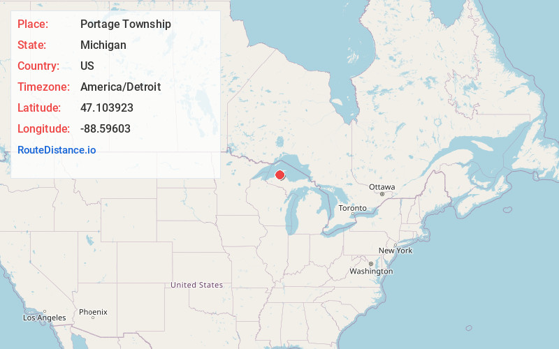
Full AddressPortage Township, MI
-
Coordinates47.1039228, -88.5960301
-
LocationPortage Township , Michigan , US
-
TimezoneAmerica/Detroit
-
Current Local Time11:11:54 PM America/DetroitSunday, June 1, 2025
-
Page Views0
About Portage Township
Portage Charter Township is a charter township of Houghton County in the U.S. state of Michigan. As of the 2020 census, the township population was 3,189. The city of Houghton is adjacent to the north side of the township.
Nearby Places
Found 10 places within 50 miles

Dodgeville
1.0 mi
1.6 km
Dodgeville, MI
Get directions
Hurontown
1.2 mi
1.9 km
Hurontown, MI 49931
Get directions

Houghton
1.7 mi
2.7 km
Houghton, MI
Get directions

Hancock
1.7 mi
2.7 km
Hancock, MI 49930
Get directions

Ripley
2.5 mi
4.0 km
Ripley, MI 49930
Get directions
Franklin Mine
2.7 mi
4.3 km
Franklin Mine, MI 49930
Get directions
Pewabic
2.9 mi
4.7 km
Pewabic, MI 49930
Get directions

Baltic
3.1 mi
5.0 km
Baltic, MI 49905
Get directions

South Range
3.2 mi
5.1 km
South Range, MI
Get directions
Lewer Pewabic
3.7 mi
6.0 km
Lewer Pewabic, MI 49930
Get directions
Location Links
Local Weather
Weather Information
Coming soon!
Location Map
Static map view of Portage Township, Michigan
Browse Places by Distance
Places within specific distances from Portage Township
Short Distances
Long Distances
Click any distance to see all places within that range from Portage Township. Distances shown in miles (1 mile ≈ 1.61 kilometers).