Distance to Posey, California

Calculating Your Route
Just a moment while we process your request...
Location Information
-
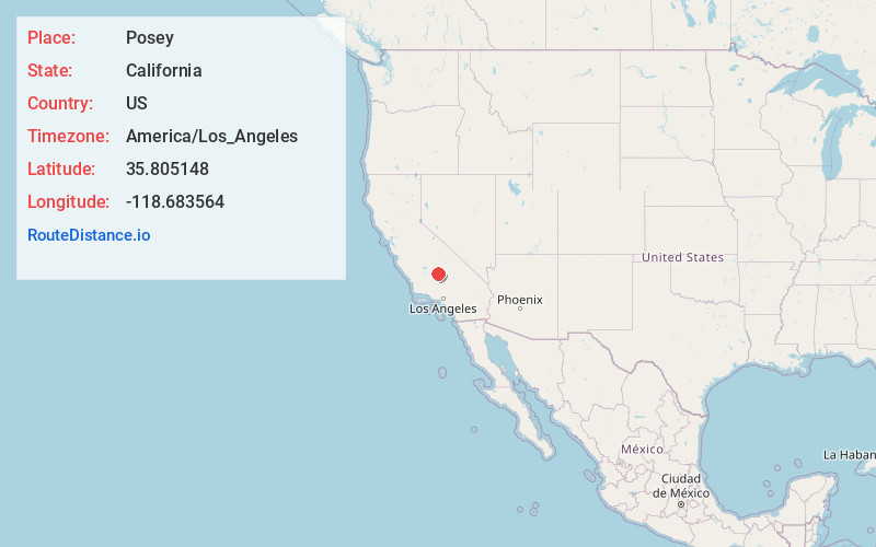
Full AddressPosey, CA 93260
-
Coordinates35.8051484, -118.6835638
-
LocationPosey , California , US
-
TimezoneAmerica/Los_Angeles
-
Current Local Time3:45:36 PM America/Los_AngelesSaturday, June 21, 2025
-
Page Views0
About Posey
Posey is a census-designated place in Tulare County, California, United States. Posey is 21 miles east-southeast of Ducor. Posey has a post office with ZIP code 93260, which opened in 1915. The population was 23 at the 2020 United States census, up from 10 at the 2010 census. The elevation of Posey is 3573 feet.


Nearby Places
Found 10 places within 50 miles

Idlewild
0.7 mi
1.1 km
Idlewild, CA 93260
Get directions

McClenney Tract
2.3 mi
3.7 km
McClenney Tract, CA 93260
Get directions

Panorama Heights
3.0 mi
4.8 km
Panorama Heights, CA 93260
Get directions

Sugarloaf Village
3.1 mi
5.0 km
Sugarloaf Village, CA 93260
Get directions
Sugarloaf Saw Mill
4.3 mi
6.9 km
Sugarloaf Saw Mill, CA 93260
Get directions

Glennville
5.4 mi
8.7 km
Glennville, CA
Get directions

California Hot Springs
5.9 mi
9.5 km
California Hot Springs, CA 93207
Get directions

Woody
11.0 mi
17.7 km
Woody, CA
Get directions

Wofford Heights
14.4 mi
23.2 km
Wofford Heights, CA 93285
Get directions

Kernville
14.9 mi
24.0 km
Kernville, CA
Get directions
Location Links
Local Weather
Weather Information
Coming soon!
Location Map
Static map view of Posey, California
Browse Places by Distance
Places within specific distances from Posey
Short Distances
Long Distances
Click any distance to see all places within that range from Posey. Distances shown in miles (1 mile ≈ 1.61 kilometers).