Distance to Post Oak, Virginia

Calculating Your Route
Just a moment while we process your request...
Location Information
-
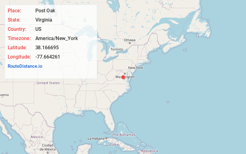
Full AddressPost Oak, VA 22551
-
Coordinates38.166695, -77.664261
-
LocationPost Oak , Virginia , US
-
TimezoneAmerica/New_York
-
Current Local Time7:54:08 AM America/New_YorkSaturday, June 7, 2025
-
Page Views0
About Post Oak
Post Oak is an unincorporated community in Spotsylvania County in the U.S. state of Virginia. Post Oak is located near the intersection of Courthouse Road and Post Oak Road. Post Oak Middle School, Virginia and Spotsylvania High School are less than one-half mile away. A farm is next to Post Oak.
Nearby Places
Found 10 places within 50 miles

Alsop
2.9 mi
4.7 km
Alsop, VA 22551
Get directions
Snell
3.7 mi
6.0 km
Snell, VA 22551
Get directions

Spotsylvania County
4.0 mi
6.4 km
Spotsylvania County, VA
Get directions
Penneys Crossroad
4.6 mi
7.4 km
Penneys Crossroad, VA 22534
Get directions
Panier
5.5 mi
8.9 km
Panier, VA 22551
Get directions
Todds Tavern
5.6 mi
9.0 km
Todds Tavern, VA 22553
Get directions
Porters
7.2 mi
11.6 km
Porters, VA 22551
Get directions
Marye
7.4 mi
11.9 km
Marye, VA 22551
Get directions
Brockroad
7.5 mi
12.1 km
Brockroad, VA 22553
Get directions
Smiths Mill
7.9 mi
12.7 km
Smiths Mill, VA 22407
Get directions
Location Links
Local Weather
Weather Information
Coming soon!
Location Map
Static map view of Post Oak, Virginia
Browse Places by Distance
Places within specific distances from Post Oak
Short Distances
Long Distances
Click any distance to see all places within that range from Post Oak. Distances shown in miles (1 mile ≈ 1.61 kilometers).