Distance to Postell, Georgia

Calculating Your Route
Just a moment while we process your request...
Location Information
-
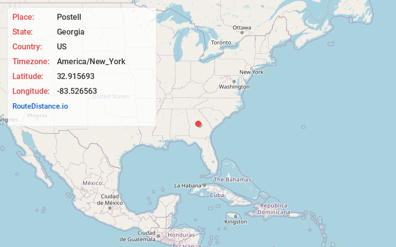
Full AddressPostell, GA 31211
-
Coordinates32.9156928, -83.5265627
-
LocationGeorgia , US
-
TimezoneAmerica/New_York
-
Current Local Time5:02:53 PM America/New_YorkWednesday, June 18, 2025
-
Page Views0
Nearby Places
Found 10 places within 50 miles

Gray
6.5 mi
10.5 km
Gray, GA 31032
Get directions

Macon
8.2 mi
13.2 km
Macon, GA
Get directions

Gordon
11.5 mi
18.5 km
Gordon, GA 31031
Get directions

Ivey
13.3 mi
21.4 km
Ivey, GA 31031
Get directions

Whispering Pines
14.9 mi
24.0 km
Whispering Pines, GA 31220
Get directions
Skipperton
15.3 mi
24.6 km
Skipperton, GA 31216
Get directions
Bolingbroke
16.2 mi
26.1 km
Bolingbroke, GA
Get directions
Edgars
18.9 mi
30.4 km
Edgars, McIntyre, GA 31054
Get directions

Jeffersonville
18.9 mi
30.4 km
Jeffersonville, GA 31044
Get directions

Robins AFB
19.4 mi
31.2 km
Robins AFB, GA 31098
Get directions
Location Links
Local Weather
Weather Information
Coming soon!
Location Map
Static map view of Postell, Georgia
Browse Places by Distance
Places within specific distances from Postell
Short Distances
Long Distances
Click any distance to see all places within that range from Postell. Distances shown in miles (1 mile ≈ 1.61 kilometers).