Distance to Potsdam, Ohio

Calculating Your Route
Just a moment while we process your request...
Location Information
-
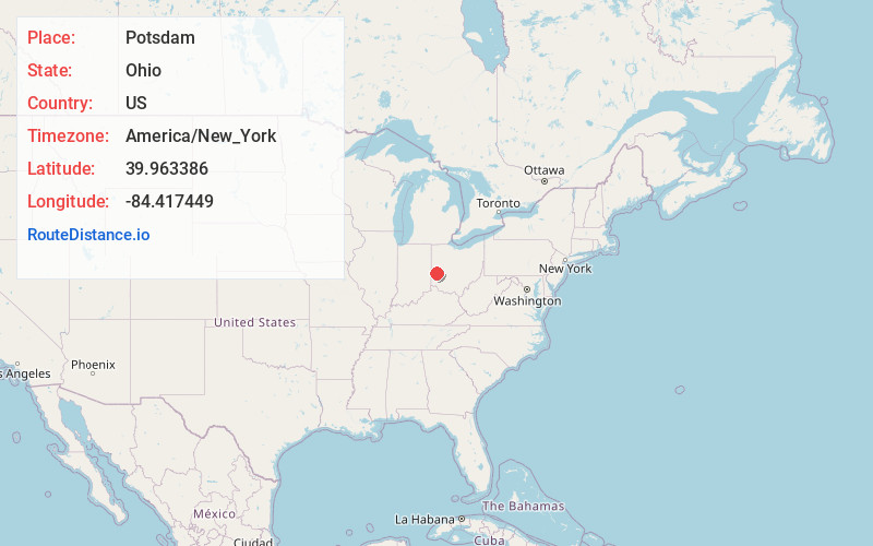
Full AddressPotsdam, OH
-
Coordinates39.9633855, -84.4174489
-
LocationPotsdam , Ohio , US
-
TimezoneAmerica/New_York
-
Current Local Time1:57:01 PM America/New_YorkTuesday, July 1, 2025
-
Page Views0
About Potsdam
Potsdam is a village in Miami County, Ohio, United States. The population was 225 at the 2020 census. It is part of the Dayton Metropolitan Statistical Area.
Nearby Places
Found 10 places within 50 miles

Laura
2.2 mi
3.5 km
Laura, OH 45337
Get directions

Phillipsburg
4.2 mi
6.8 km
Phillipsburg, OH
Get directions

West Milton
4.7 mi
7.6 km
West Milton, OH
Get directions

Verona
5.5 mi
8.9 km
Verona, OH
Get directions

Pleasant Hill
7.2 mi
11.6 km
Pleasant Hill, OH 45359
Get directions

Arcanum
7.4 mi
11.9 km
Arcanum, OH 45304
Get directions

Union
7.4 mi
11.9 km
Union, OH
Get directions

Clayton
7.6 mi
12.2 km
Clayton, OH
Get directions

Englewood
8.5 mi
13.7 km
Englewood, OH
Get directions

Brookville
8.8 mi
14.2 km
Brookville, OH 45309
Get directions
Location Links
Local Weather
Weather Information
Coming soon!
Location Map
Static map view of Potsdam, Ohio
Browse Places by Distance
Places within specific distances from Potsdam
Short Distances
Long Distances
Click any distance to see all places within that range from Potsdam. Distances shown in miles (1 mile ≈ 1.61 kilometers).