Distance to Potter Junction, Arkansas

Calculating Your Route
Just a moment while we process your request...
Location Information
-
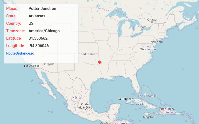
Full AddressPotter Junction, AR 71953
-
Coordinates34.5506619, -94.306046
-
LocationPotter Junction , Arkansas , US
-
TimezoneAmerica/Chicago
-
Current Local Time11:27:15 AM America/ChicagoSaturday, June 7, 2025
-
Page Views0
About Potter Junction
Old Potter, also known as Potter Junction, is an unincorporated community in Potter Township, Polk County, Arkansas, United States. It is located along U.S. Route 59/U.S. Route 71 south of Mena, where Highway 375 begins.
Nearby Places
Found 10 places within 50 miles

Potter
1.9 mi
3.1 km
Potter, AR 71953
Get directions
Rocky
4.6 mi
7.4 km
Rocky, AR 71953
Get directions

Mena
4.6 mi
7.4 km
Mena, AR 71953
Get directions
Mountain Fork
4.9 mi
7.9 km
Mountain Fork, Arkansas 71945
Get directions
Hatfield
6.1 mi
9.8 km
Hatfield, AR 71945
Get directions
Old Cove
8.1 mi
13.0 km
Old Cove, AR 71945
Get directions
Nunley
8.3 mi
13.4 km
Nunley, AR 71953
Get directions

Acorn
8.7 mi
14.0 km
Acorn, AR 71953
Get directions

Eagleton
9.0 mi
14.5 km
Eagleton, AR 71953
Get directions

Rich Mountain
9.8 mi
15.8 km
Rich Mountain, AR 71953
Get directions
Location Links
Local Weather
Weather Information
Coming soon!
Location Map
Static map view of Potter Junction, Arkansas
Browse Places by Distance
Places within specific distances from Potter Junction
Short Distances
Long Distances
Click any distance to see all places within that range from Potter Junction. Distances shown in miles (1 mile ≈ 1.61 kilometers).