Distance to Potters Mills, Pennsylvania

Calculating Your Route
Just a moment while we process your request...
Location Information
-
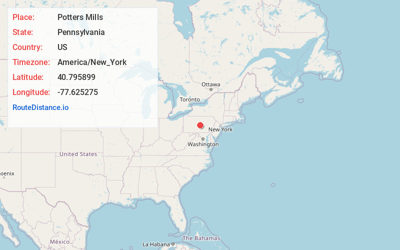
Full AddressPotters Mills, PA 16875
-
Coordinates40.7958985, -77.6252746
-
LocationPotters Mills , Pennsylvania , US
-
TimezoneAmerica/New_York
-
Current Local Time10:39:04 PM America/New_YorkWednesday, June 18, 2025
-
Page Views1
About Potters Mills
Potters Mills is a hamlet in Potter Township, Centre County, Pennsylvania, United States, just east of the Potter-Allison Farm. It is named after
General James Potter, who built a log cabin and grist mill there, at what is now the intersection of General Potter Highway and the Old Fort Road.
Nearby Places
Found 10 places within 50 miles

Centre Hall
4.8 mi
7.7 km
Centre Hall, PA 16828
Get directions

Spring Mills
5.0 mi
8.0 km
Spring Mills, PA 16875
Get directions

Milroy
5.9 mi
9.5 km
Milroy, PA
Get directions

Siglerville
6.3 mi
10.1 km
Siglerville, PA 17063
Get directions

Bald Eagle State Forest
6.6 mi
10.6 km
Bald Eagle State Forest, Walker Township, PA 16823
Get directions

Church Hill
7.3 mi
11.7 km
Church Hill, PA 17084
Get directions

Harris Township
7.3 mi
11.7 km
Harris Township, PA
Get directions
Spring Township
7.9 mi
12.7 km
Spring Township, PA
Get directions

Mount Nittany
8.0 mi
12.9 km
Mount Nittany, College Township, PA 16827
Get directions
Pleasant Gap
8.1 mi
13.0 km
Pleasant Gap, PA 16823
Get directions
Location Links
Local Weather
Weather Information
Coming soon!
Location Map
Static map view of Potters Mills, Pennsylvania
Browse Places by Distance
Places within specific distances from Potters Mills
Short Distances
Long Distances
Click any distance to see all places within that range from Potters Mills. Distances shown in miles (1 mile ≈ 1.61 kilometers).