Distance to Bald Eagle State Forest, Pennsylvania

Calculating Your Route
Just a moment while we process your request...
Location Information
-
Full AddressBald Eagle State Forest, Walker Township, PA 16823
-
Coordinates40.8878414, -77.6561089
-
LocationWalker Township , Pennsylvania , US
-
TimezoneAmerica/New_York
-
Current Local Time6:14:13 PM America/New_YorkThursday, June 19, 2025
-
Page Views1


Nearby Places
Found 10 places within 50 miles

Zion
2.3 mi
3.7 km
Zion, PA 16823
Get directions
Spring Township
3.5 mi
5.6 km
Spring Township, PA
Get directions

Walker Township
4.3 mi
6.9 km
Walker Township, PA
Get directions
Pleasant Gap
4.9 mi
7.9 km
Pleasant Gap, PA 16823
Get directions

Bellefonte
6.6 mi
10.6 km
Bellefonte, PA 16823
Get directions

Centre County
9.5 mi
15.3 km
Centre County, PA
Get directions

Harris Township
10.4 mi
16.7 km
Harris Township, PA
Get directions

Boalsburg
10.5 mi
16.9 km
Boalsburg, PA 16827
Get directions

Lamar
10.9 mi
17.5 km
Lamar, PA
Get directions

State College
12.5 mi
20.1 km
State College, PA
Get directions
Location Links
Local Weather
Weather Information
Coming soon!
Location Map
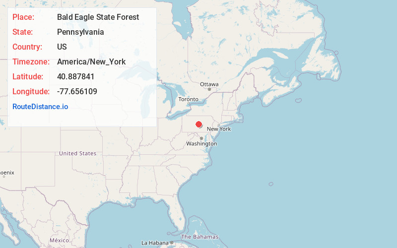
Static map view of Bald Eagle State Forest, Pennsylvania
Browse Places by Distance
Places within specific distances from Bald Eagle State Forest
Short Distances
Long Distances
Click any distance to see all places within that range from Bald Eagle State Forest. Distances shown in miles (1 mile ≈ 1.61 kilometers).