Distance to Power, Montana

Calculating Your Route
Just a moment while we process your request...
Location Information
-
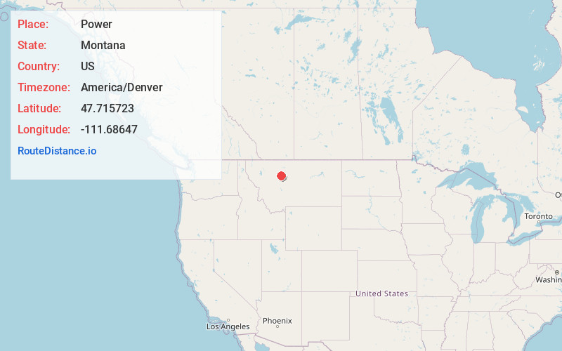
Full AddressPower, MT 59468
-
Coordinates47.715723, -111.6864697
-
LocationPower , Montana , US
-
TimezoneAmerica/Denver
-
Current Local Time6:51:09 AM America/DenverSaturday, June 21, 2025
-
Page Views0
About Power
Power is a census-designated place in Teton County, Montana, United States. The population was 171 at the 2000 census. The town is named after Montana pioneer, Thomas Charles Power, who platted the townsite in 1910.

Nearby Places
Found 10 places within 50 miles

Dutton
9.2 mi
14.8 km
Dutton, MT 59433
Get directions

Vaughn
12.6 mi
20.3 km
Vaughn, MT
Get directions

Sun Prairie
14.5 mi
23.3 km
Sun Prairie, MT 59404
Get directions

Fairfield
15.4 mi
24.8 km
Fairfield, MT 59436
Get directions
Simms
19.1 mi
30.7 km
Simms, MT
Get directions

Ulm
21.3 mi
34.3 km
Ulm, MT
Get directions

Great Falls
23.1 mi
37.2 km
Great Falls, MT
Get directions

Black Eagle
23.1 mi
37.2 km
Black Eagle, MT
Get directions

Choteau
24.0 mi
38.6 km
Choteau, MT
Get directions

Malmstrom AFB
27.8 mi
44.7 km
Malmstrom AFB, MT
Get directions
Location Links
Local Weather
Weather Information
Coming soon!
Location Map
Static map view of Power, Montana
Browse Places by Distance
Places within specific distances from Power
Short Distances
Long Distances
Click any distance to see all places within that range from Power. Distances shown in miles (1 mile ≈ 1.61 kilometers).