Distance to Ulm, Montana

Calculating Your Route
Just a moment while we process your request...
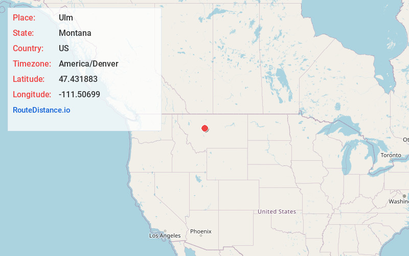
Location Information
-
Full AddressUlm, MT
-
Coordinates47.4318832, -111.5069897
-
LocationUlm , Montana , US
-
TimezoneAmerica/Denver
-
Current Local Time2:16:01 AM America/DenverThursday, May 22, 2025
-
Page Views0
About Ulm
Ulm is a census-designated place in Cascade County, Montana, United States. It was originally a large ranch owned by Indiana-born cattleman William Ulm. The population was 738 at the 2010 census. It is part of the Great Falls, Montana Metropolitan Statistical Area.
The post office opened in 1883.


Nearby Places
Found 6 places within 50 miles

Sun Prairie
8.0 mi
12.9 km
Sun Prairie, MT 59404
Get directions

Vaughn
9.1 mi
14.6 km
Vaughn, MT
Get directions

Great Falls
10.9 mi
17.5 km
Great Falls, MT
Get directions

Malmstrom AFB
16.1 mi
25.9 km
Malmstrom AFB, MT
Get directions

Choteau
41.0 mi
66.0 km
Choteau, MT
Get directions

Fort Benton
48.3 mi
77.7 km
Fort Benton, MT 59442
Get directions
Location Links
Local Weather
Weather Information
Coming soon!
Location Map
Static map view of Ulm, Montana
Browse Places by Distance
Places within specific distances from Ulm
Short Distances
Long Distances
Click any distance to see all places within that range from Ulm. Distances shown in miles (1 mile ≈ 1.61 kilometers).