Distance to Poyntelle, Pennsylvania

Calculating Your Route
Just a moment while we process your request...
Location Information
-
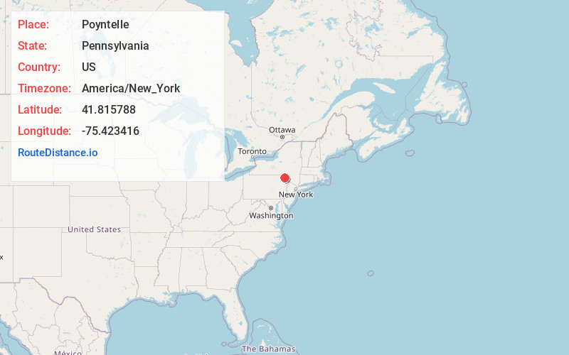
Full AddressPoyntelle, PA
-
Coordinates41.8157883, -75.4234162
-
LocationPoyntelle , Pennsylvania , US
-
TimezoneAmerica/New_York
-
Current Local Time12:57:19 AM America/New_YorkSunday, June 1, 2025
-
Page Views0
About Poyntelle
Poyntelle is a village that is located in Preston Township, Wayne County, Pennsylvania, United States, in the Lake Region of the Poconos.
Nearby Places
Found 10 places within 50 miles

Preston Township
1.3 mi
2.1 km
Preston Township, PA
Get directions

Orson
1.3 mi
2.1 km
Orson, PA 18453
Get directions

Lakewood
3.3 mi
5.3 km
Lakewood, PA 18439
Get directions
Ararat
5.3 mi
8.5 km
Ararat, PA 18465
Get directions

Thompson
5.7 mi
9.2 km
Thompson, PA 18465
Get directions
Starrucca
6.3 mi
10.1 km
Starrucca, PA
Get directions

Union Dale
7.7 mi
12.4 km
Union Dale, PA 18470
Get directions
Dillontown
8.9 mi
14.3 km
Dillontown, Buckingham Township, PA 18417
Get directions
Stockport
9.3 mi
15.0 km
Stockport, Buckingham Township, PA 18417
Get directions
North Jackson
9.5 mi
15.3 km
North Jackson, Jackson Township, PA 18847
Get directions
Location Links
Local Weather
Weather Information
Coming soon!
Location Map
Static map view of Poyntelle, Pennsylvania
Browse Places by Distance
Places within specific distances from Poyntelle
Short Distances
Long Distances
Click any distance to see all places within that range from Poyntelle. Distances shown in miles (1 mile ≈ 1.61 kilometers).