Distance to Union Dale, Pennsylvania

Calculating Your Route
Just a moment while we process your request...
Location Information
-
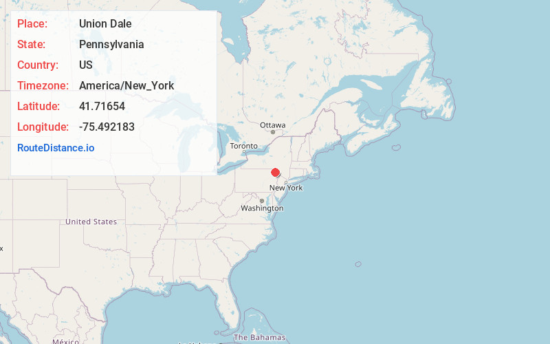
Full AddressUnion Dale, PA 18470
-
Coordinates41.7165403, -75.4921827
-
LocationUnion Dale , Pennsylvania , US
-
TimezoneAmerica/New_York
-
Current Local Time9:40:56 PM America/New_YorkFriday, June 6, 2025
-
Page Views0
About Union Dale
Union Dale is a borough in Susquehanna County, Pennsylvania, United States. The borough was incorporated in 1885. Union Dale's population was 267 at the 2010 census.


Nearby Places
Found 10 places within 50 miles

Clifford Township
4.2 mi
6.8 km
Clifford Township, PA
Get directions

Forest City
4.7 mi
7.6 km
Forest City, PA 18421
Get directions
Vandling
6.0 mi
9.7 km
Vandling, PA
Get directions
Ararat
8.0 mi
12.9 km
Ararat, PA 18465
Get directions
Simpson
8.6 mi
13.8 km
Simpson, PA 18407
Get directions
Greenfield Township
8.8 mi
14.2 km
Greenfield Township, PA
Get directions

Preston Township
9.0 mi
14.5 km
Preston Township, PA
Get directions
Lenox
9.3 mi
15.0 km
Lenox, PA 18826
Get directions

Carbondale
9.9 mi
15.9 km
Carbondale, PA 18407
Get directions

Thompson
10.2 mi
16.4 km
Thompson, PA 18465
Get directions
Location Links
Local Weather
Weather Information
Coming soon!
Location Map
Static map view of Union Dale, Pennsylvania
Browse Places by Distance
Places within specific distances from Union Dale
Short Distances
Long Distances
Click any distance to see all places within that range from Union Dale. Distances shown in miles (1 mile ≈ 1.61 kilometers).