Distance to Prairie Du Rocher, Illinois

Calculating Your Route
Just a moment while we process your request...
Location Information
-
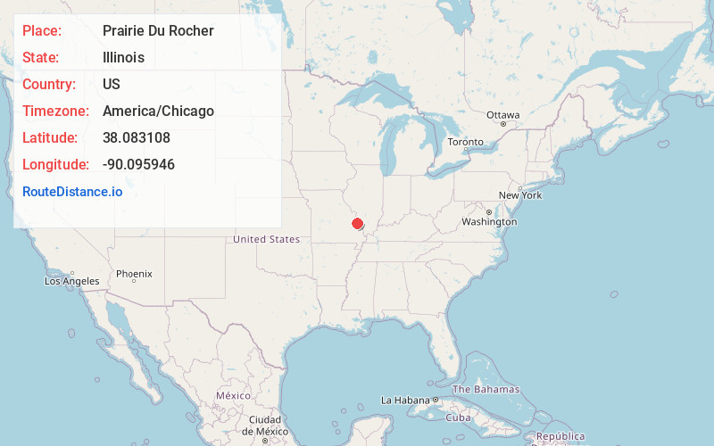
Full AddressPrairie Du Rocher, IL 62277
-
Coordinates38.083108, -90.0959463
-
LocationPrairie Du Rocher , Illinois , US
-
TimezoneAmerica/Chicago
-
Current Local Time3:05:31 PM America/ChicagoFriday, May 30, 2025
-
Page Views0
About Prairie Du Rocher
Prairie du Rocher is a village in Randolph County, Illinois, United States. Founded in the French colonial period in the Midwest, the community is located near bluffs that flank the east side of the Mississippi River along the floodplain often called the "American Bottom". The population was 502 at the 2020 census.
Nearby Places
Found 10 places within 50 miles

Ruma
6.4 mi
10.3 km
Ruma, IL 62278
Get directions

Ste. Genevieve
7.7 mi
12.4 km
Ste. Genevieve, MO 63670
Get directions

Bloomsdale
8.4 mi
13.5 km
Bloomsdale, MO 63627
Get directions

Evansville
8.6 mi
13.8 km
Evansville, IL 62242
Get directions

Red Bud
10.5 mi
16.9 km
Red Bud, IL
Get directions

Hecker
16.3 mi
26.2 km
Hecker, IL
Get directions

Waterloo
17.7 mi
28.5 km
Waterloo, IL
Get directions

Crystal City
18.6 mi
29.9 km
Crystal City, MO
Get directions

Valmeyer
18.7 mi
30.1 km
Valmeyer, IL
Get directions

Chester
19.0 mi
30.6 km
Chester, IL 62233
Get directions
Location Links
Local Weather
Weather Information
Coming soon!
Location Map
Static map view of Prairie Du Rocher, Illinois
Browse Places by Distance
Places within specific distances from Prairie Du Rocher
Short Distances
Long Distances
Click any distance to see all places within that range from Prairie Du Rocher. Distances shown in miles (1 mile ≈ 1.61 kilometers).