Distance to Red Bud, Illinois

Calculating Your Route
Just a moment while we process your request...
Location Information
-
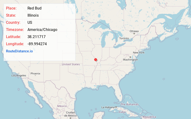
Full AddressRed Bud, IL
-
Coordinates38.2117172, -89.9942741
-
LocationRed Bud , Illinois , US
-
TimezoneAmerica/Chicago
-
Current Local Time3:38:41 AM America/ChicagoMonday, June 2, 2025
-
Page Views0
About Red Bud
Red Bud is a city in Randolph County, Illinois, in the United States. The population was 3,804 at the 2020 census.
It is the home of the Red Bud campus of Southwestern Illinois College.


Nearby Places
Found 10 places within 50 miles

Waterloo
12.0 mi
19.3 km
Waterloo, IL
Get directions

Freeburg
15.5 mi
24.9 km
Freeburg, IL
Get directions

Ste. Genevieve
16.4 mi
26.4 km
Ste. Genevieve, MO 63670
Get directions

Sparta
17.0 mi
27.4 km
Sparta, IL 62286
Get directions

Millstadt
18.0 mi
29.0 km
Millstadt, IL 62260
Get directions

Columbia
19.6 mi
31.5 km
Columbia, IL 62236
Get directions

Crystal City
21.3 mi
34.3 km
Crystal City, MO
Get directions

Belleville
21.3 mi
34.3 km
Belleville, IL
Get directions

Herculaneum
21.9 mi
35.2 km
Herculaneum, MO
Get directions

Pevely
22.1 mi
35.6 km
Pevely, MO
Get directions
Location Links
Local Weather
Weather Information
Coming soon!
Location Map
Static map view of Red Bud, Illinois
Browse Places by Distance
Places within specific distances from Red Bud
Short Distances
Long Distances
Click any distance to see all places within that range from Red Bud. Distances shown in miles (1 mile ≈ 1.61 kilometers).