Distance to Protem, Missouri

Calculating Your Route
Just a moment while we process your request...
Location Information
-
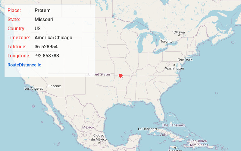
Full AddressProtem, MO 65733
-
Coordinates36.5289539, -92.858783
-
LocationProtem , Missouri , US
-
TimezoneAmerica/Chicago
-
Current Local Time12:12:47 PM America/ChicagoWednesday, June 18, 2025
-
Page Views0
About Protem
Protem is an unincorporated community in southeastern Taney County, Missouri, United States. It is located on Route 125, and is approximately two miles north of the Missouri-Arkansas state line. Protem is part of the Branson, Missouri Micropolitan Statistical Area.


Nearby Places
Found 10 places within 50 miles

Diamond City
5.6 mi
9.0 km
Diamond City, AR 72644
Get directions

Lead Hill
8.2 mi
13.2 km
Lead Hill, AR 72644
Get directions

Cedarcreek
8.4 mi
13.5 km
Cedarcreek, MO 65627
Get directions

South Lead Hill
9.7 mi
15.6 km
South Lead Hill, AR 72644
Get directions

Theodosia
10.8 mi
17.4 km
Theodosia, MO 65761
Get directions
Sundown
12.6 mi
20.3 km
Sundown, MO
Get directions

Pontiac
14.2 mi
22.9 km
Pontiac, MO 65729
Get directions

Kissee Mills
15.1 mi
24.3 km
Kissee Mills, MO
Get directions

Hammond
15.6 mi
25.1 km
Hammond, Thornfield Township, MO 65762
Get directions

Oakland
16.7 mi
26.9 km
Oakland, AR 72661
Get directions
Location Links
Local Weather
Weather Information
Coming soon!
Location Map
Static map view of Protem, Missouri
Browse Places by Distance
Places within specific distances from Protem
Short Distances
Long Distances
Click any distance to see all places within that range from Protem. Distances shown in miles (1 mile ≈ 1.61 kilometers).