Distance to Pughs, Virginia

Calculating Your Route
Just a moment while we process your request...
Location Information
-
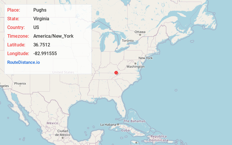
Full AddressPughs, VA 24277
-
Coordinates36.7512, -82.9915546
-
LocationVirginia , US
-
TimezoneAmerica/New_York
-
Current Local Time1:20:03 PM America/New_YorkFriday, June 20, 2025
-
Page Views0
Nearby Places
Found 10 places within 50 miles

Purcell
3.1 mi
5.0 km
Purcell, VA 24243
Get directions

Dryden
3.3 mi
5.3 km
Dryden, VA
Get directions
3.5 mi
5.6 km
Pocket, VA 24243
Get directions

Lee County
3.9 mi
6.3 km
Lee County, VA
Get directions
Stone Creek
4.0 mi
6.4 km
Stone Creek, VA 24277
Get directions
Maness
4.2 mi
6.8 km
Maness, VA 24277
Get directions
Penn Lee
4.5 mi
7.2 km
Penn Lee, VA 24282
Get directions
St Charles
5.0 mi
8.0 km
St Charles, VA 24282
Get directions
Delvale
5.2 mi
8.4 km
Delvale, VA 24243
Get directions
Turners Siding
5.6 mi
9.0 km
Turners Siding, VA 24282
Get directions
Location Links
Local Weather
Weather Information
Coming soon!
Location Map
Static map view of Pughs, Virginia
Browse Places by Distance
Places within specific distances from Pughs
Short Distances
Long Distances
Click any distance to see all places within that range from Pughs. Distances shown in miles (1 mile ≈ 1.61 kilometers).