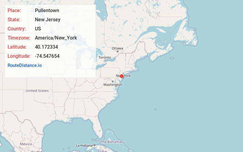
Distance to Pullentown, New Jersey

Calculating Your Route
Just a moment while we process your request...
Location Information
-
Full AddressPullentown, Upper Freehold, NJ 08501
-
Coordinates40.1723335, -74.5476542
-
LocationUpper Freehold , New Jersey , US
-
TimezoneAmerica/New_York
-
Current Local Time4:08:18 AM America/New_YorkWednesday, June 25, 2025
-
Page Views0
Nearby Places
Found 10 places within 50 miles

Polhemustown
1.5 mi
2.4 km
Polhemustown, Upper Freehold, NJ 08501
Get directions

Upper Freehold
1.6 mi
2.6 km
Upper Freehold, NJ
Get directions

Allentown
2.0 mi
3.2 km
Allentown, NJ 08501
Get directions
Walnford
2.7 mi
4.3 km
Walnford, Upper Freehold, NJ 08501
Get directions
Spring Mill
2.9 mi
4.7 km
Spring Mill, Upper Freehold, NJ 08501
Get directions
Ellisdale
3.4 mi
5.5 km
Ellisdale, Upper Freehold, NJ 08501
Get directions

Stone Tavern Lake
3.7 mi
6.0 km
Stone Tavern Lake, Upper Freehold, NJ
Get directions

Roosevelt
4.8 mi
7.7 km
Roosevelt, NJ
Get directions

Robbinsville Twp
4.9 mi
7.9 km
Robbinsville Twp, NJ
Get directions
Meadows Terrace
5.6 mi
9.0 km
Meadows Terrace, Robbinsville Twp, NJ 08691
Get directions
Location Links
Local Weather
Weather Information
Coming soon!
Location Map
Static map view of Pullentown, New Jersey
Browse Places by Distance
Places within specific distances from Pullentown
Short Distances
Long Distances
Click any distance to see all places within that range from Pullentown. Distances shown in miles (1 mile ≈ 1.61 kilometers).