Distance to Pullman, Arkansas

Calculating Your Route
Just a moment while we process your request...
Location Information
-
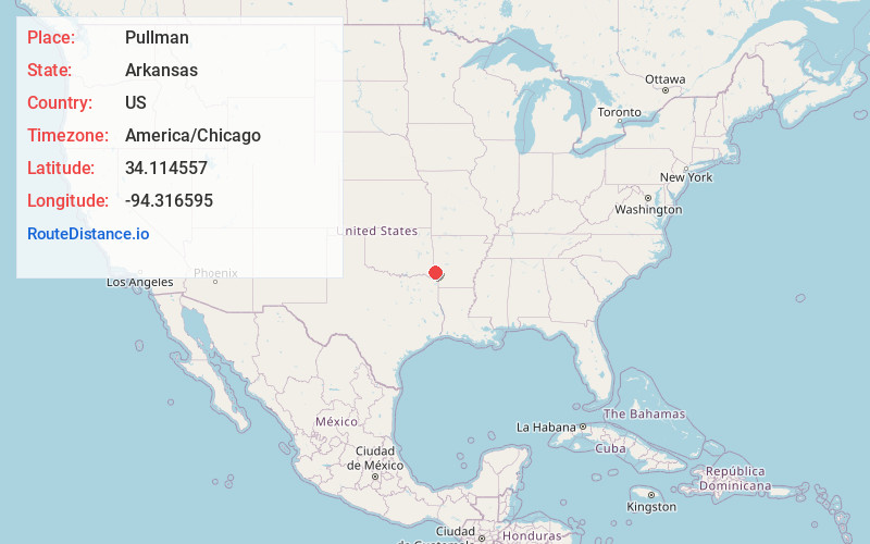
Full AddressPullman, AR 71832
-
Coordinates34.1145574, -94.3165949
-
LocationArkansas , US
-
TimezoneAmerica/Chicago
-
Current Local Time12:08:19 AM America/ChicagoWednesday, June 25, 2025
-
Page Views0
Nearby Places
Found 10 places within 50 miles

King
2.2 mi
3.5 km
King, AR 71841
Get directions

Gillham
4.1 mi
6.6 km
Gillham, AR 71841
Get directions
Kellum
7.1 mi
11.4 km
Kellum, AR 71832
Get directions

Grannis
8.8 mi
14.2 km
Grannis, AR
Get directions
Horatio
12.3 mi
19.8 km
Horatio, AR
Get directions
Dilworth
12.7 mi
20.4 km
Dilworth, AR 71842
Get directions
Wickes
13.1 mi
21.1 km
Wickes, AR
Get directions

Lockesburg
13.2 mi
21.2 km
Lockesburg, AR 71846
Get directions

Eagletown
15.8 mi
25.4 km
Eagletown, OK 74734
Get directions
Baker Springs
16.1 mi
25.9 km
Baker Springs, AR 71833
Get directions
Location Links
Local Weather
Weather Information
Coming soon!
Location Map
Static map view of Pullman, Arkansas
Browse Places by Distance
Places within specific distances from Pullman
Short Distances
Long Distances
Click any distance to see all places within that range from Pullman. Distances shown in miles (1 mile ≈ 1.61 kilometers).