Distance to Purcell, Colorado

Calculating Your Route
Just a moment while we process your request...
Location Information
-
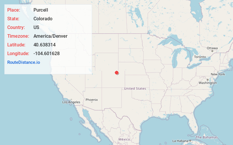
Full AddressPurcell, CO 80650
-
Coordinates40.6383141, -104.6016275
-
LocationColorado , US
-
TimezoneAmerica/Denver
-
Current Local Time7:34:03 PM America/DenverFriday, May 23, 2025
-
Page Views0
Nearby Places
Found 10 places within 50 miles

Stage
7.6 mi
12.2 km
Stage, CO 80610
Get directions

Ault
7.8 mi
12.6 km
Ault, CO
Get directions

Pierce
8.1 mi
13.0 km
Pierce, CO 80650
Get directions

Galeton
8.1 mi
13.0 km
Galeton, CO 80622
Get directions

Eaton
9.8 mi
15.8 km
Eaton, CO 80615
Get directions
Lowe
10.1 mi
16.3 km
Lowe, CO 80631
Get directions

Nunn
10.4 mi
16.7 km
Nunn, CO 80648
Get directions
Gates
10.9 mi
17.5 km
Gates, CO 80615
Get directions

Lucerne
12.0 mi
19.3 km
Lucerne, CO 80631
Get directions
Matthews
12.2 mi
19.6 km
Matthews, CO 80624
Get directions
Location Links
Local Weather
Weather Information
Coming soon!
Location Map
Static map view of Purcell, Colorado
Browse Places by Distance
Places within specific distances from Purcell
Short Distances
Long Distances
Click any distance to see all places within that range from Purcell. Distances shown in miles (1 mile ≈ 1.61 kilometers).