Distance to Purcell, Kansas

Calculating Your Route
Just a moment while we process your request...
Location Information
-
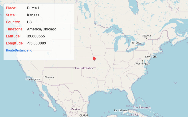
Full AddressPurcell, Union Township, KS 66424
-
Coordinates39.6805554, -95.3308091
-
LocationUnion Township , Kansas , US
-
TimezoneAmerica/Chicago
-
Current Local Time3:03:11 PM America/ChicagoThursday, May 22, 2025
-
Page Views0
About Purcell
Purcell is an unincorporated community in Doniphan County, Kansas, United States. It is located 5 miles east of Everest, south of K-20, on highway K-137.
Nearby Places
Found 10 places within 50 miles

Huron
3.1 mi
5.0 km
Huron, KS 66041
Get directions

Denton
4.8 mi
7.7 km
Denton, KS 66017
Get directions

Everest
5.0 mi
8.0 km
Everest, KS 66424
Get directions
Severance
7.4 mi
11.9 km
Severance, KS 66087
Get directions
Leona
7.4 mi
11.9 km
Leona, KS 66532
Get directions

Lancaster
7.6 mi
12.2 km
Lancaster, KS 66041
Get directions
Good Intent
8.2 mi
13.2 km
Good Intent, Shannon Township, KS 66002
Get directions
Bendena
9.1 mi
14.6 km
Bendena, KS 66008
Get directions
Shannon
9.2 mi
14.8 km
Shannon, Lancaster Township, KS 66002
Get directions
Willis
9.8 mi
15.8 km
Willis, KS
Get directions
Location Links
Local Weather
Weather Information
Coming soon!
Location Map
Static map view of Purcell, Kansas
Browse Places by Distance
Places within specific distances from Purcell
Short Distances
Long Distances
Click any distance to see all places within that range from Purcell. Distances shown in miles (1 mile ≈ 1.61 kilometers).