Distance to Leona, Kansas

Calculating Your Route
Just a moment while we process your request...
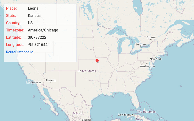
Location Information
-
Full AddressLeona, KS 66532
-
Coordinates39.7872224, -95.3216436
-
LocationLeona , Kansas , US
-
TimezoneAmerica/Chicago
-
Current Local Time1:11:05 PM America/ChicagoWednesday, June 18, 2025
-
Page Views0
About Leona
Leona is a city in Doniphan County, Kansas, United States. As of the 2020 census, the population of the city was 41.
Nearby Places
Found 10 places within 50 miles

Severance
4.0 mi
6.4 km
Severance, KS 66087
Get directions

Denton
4.8 mi
7.7 km
Denton, KS 66017
Get directions
Robinson
5.1 mi
8.2 km
Robinson, KS 66532
Get directions
Highland
5.7 mi
9.2 km
Highland, KS 66035
Get directions
Bendena
8.2 mi
13.2 km
Bendena, KS 66008
Get directions

Everest
9.4 mi
15.1 km
Everest, KS 66424
Get directions

Troy
12.2 mi
19.6 km
Troy, KS 66087
Get directions
Hiawatha
12.2 mi
19.6 km
Hiawatha, KS 66434
Get directions

White Cloud
13.1 mi
21.1 km
White Cloud, KS 66094
Get directions

Horton
14.0 mi
22.5 km
Horton, KS 66439
Get directions
Location Links
Local Weather
Weather Information
Coming soon!
Location Map
Static map view of Leona, Kansas
Browse Places by Distance
Places within specific distances from Leona
Short Distances
Long Distances
Click any distance to see all places within that range from Leona. Distances shown in miles (1 mile ≈ 1.61 kilometers).