Distance to White Cloud, Kansas

Calculating Your Route
Just a moment while we process your request...
Location Information
-
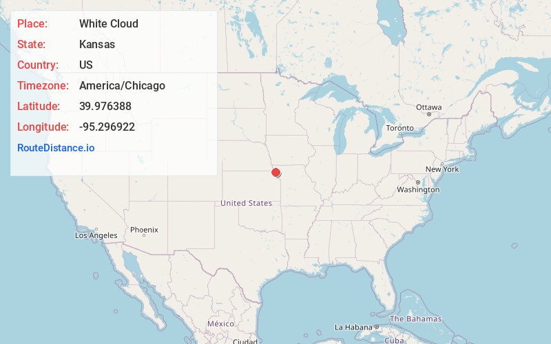
Full AddressWhite Cloud, KS 66094
-
Coordinates39.9763876, -95.2969223
-
LocationWhite Cloud , Kansas , US
-
TimezoneAmerica/Chicago
-
Current Local Time7:16:56 AM America/ChicagoThursday, July 3, 2025
-
Page Views0
About White Cloud
White Cloud is a city in Doniphan County, Kansas, United States. As of the 2020 census, the population of the city was 115. It was named for Francis White Cloud, a son of Chief White Cloud of the Iowa people. White Cloud is the seat of government for the Iowa Tribe of Kansas and Nebraska.


Nearby Places
Found 10 places within 50 miles

Forest City
5.6 mi
9.0 km
Forest City, MO
Get directions
Oregon
8.1 mi
13.0 km
Oregon, MO 64473
Get directions
Highland
8.2 mi
13.2 km
Highland, KS 66035
Get directions

Rulo
8.8 mi
14.2 km
Rulo, NE 68431
Get directions

Mound City
11.2 mi
18.0 km
Mound City, MO 64470
Get directions
Robinson
12.6 mi
20.3 km
Robinson, KS 66532
Get directions
Hiawatha
15.3 mi
24.6 km
Hiawatha, KS 66434
Get directions

Troy
16.9 mi
27.2 km
Troy, KS 66087
Get directions

Denton
17.0 mi
27.4 km
Denton, KS 66017
Get directions

Falls City
17.2 mi
27.7 km
Falls City, NE 68355
Get directions
Location Links
Local Weather
Weather Information
Coming soon!
Location Map
Static map view of White Cloud, Kansas
Browse Places by Distance
Places within specific distances from White Cloud
Short Distances
Long Distances
Click any distance to see all places within that range from White Cloud. Distances shown in miles (1 mile ≈ 1.61 kilometers).