Distance to Puyallup, Washington

Calculating Your Route
Just a moment while we process your request...
Location Information
-
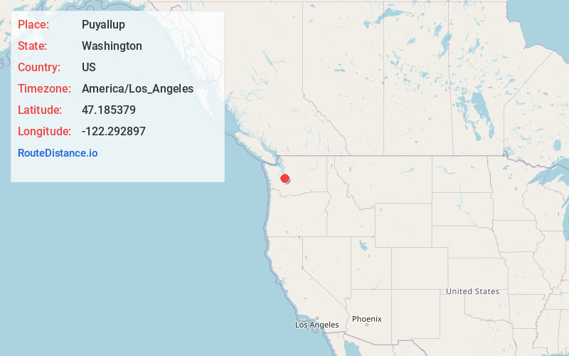
Full AddressPuyallup, WA
-
Coordinates47.1853785, -122.2928974
-
LocationPuyallup , Washington , US
-
TimezoneAmerica/Los_Angeles
-
Current Local Time2:45:31 PM America/Los_AngelesThursday, June 5, 2025
-
Website
-
Page Views0
About Puyallup
Puyallup is a city in Pierce County, Washington, United States. It is on the Puyallup River about 10 miles southeast of Tacoma and 35 miles south of Seattle. The city had a population of 42,973 at the 2020 census.


Nearby Places
Found 10 places within 50 miles

South Hill
4.1 mi
6.6 km
South Hill, WA
Get directions

Tacoma
8.5 mi
13.7 km
Tacoma, WA
Get directions

Auburn
9.0 mi
14.5 km
Auburn, WA
Get directions

Federal Way
9.5 mi
15.3 km
Federal Way, WA
Get directions

Lakewood
10.6 mi
17.1 km
Lakewood, WA
Get directions

Kent
13.9 mi
22.4 km
Kent, WA
Get directions

Burien
19.6 mi
31.5 km
Burien, WA
Get directions

Renton
20.7 mi
33.3 km
Renton, WA
Get directions

Lacey
27.0 mi
43.5 km
Lacey, WA
Get directions

Seattle
29.1 mi
46.8 km
Seattle, WA
Get directions
Location Links
Local Weather
Weather Information
Coming soon!
Location Map
Static map view of Puyallup, Washington
Browse Places by Distance
Places within specific distances from Puyallup
Short Distances
Long Distances
Click any distance to see all places within that range from Puyallup. Distances shown in miles (1 mile ≈ 1.61 kilometers).