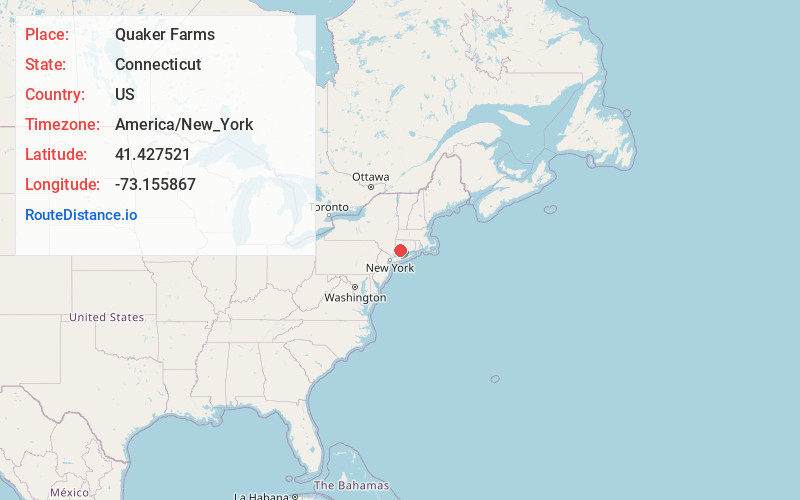
Distance to Quaker Farms, Connecticut

Calculating Your Route
Just a moment while we process your request...
Location Information
-
Full AddressQuaker Farms, Oxford, CT 06478
-
Coordinates41.4275205, -73.1558671
-
NeighborhoodQuaker Farms
-
LocationOxford , Connecticut , US
-
TimezoneAmerica/New_York
-
Current Local Time5:13:01 PM America/New_YorkThursday, July 3, 2025
-
Page Views0
About Quaker Farms
The Quaker Farms Historic District is a historic district in the town of Oxford, Connecticut, United States. It encompasses a small rural village on Quaker Farms Road anchored by the Christ Church Episcopal, an 1812 wood-frame church with Federal and Gothic styling, located at 470 Quaker Farms Road.
Nearby Places
Found 10 places within 50 miles

Oxford
1.7 mi
2.7 km
Oxford, CT 06478
Get directions

Southbury
4.7 mi
7.6 km
Southbury, CT 06488
Get directions

Seymour
4.7 mi
7.6 km
Seymour, CT
Get directions

Cedar Land
4.8 mi
7.7 km
Cedar Land, Southbury, CT 06488
Get directions

Beacon Falls
5.0 mi
8.0 km
Beacon Falls, CT 06403
Get directions
Oakdale Manor
5.1 mi
8.2 km
Oakdale Manor, Southbury, CT 06488
Get directions
Berkshire Estates
5.4 mi
8.7 km
Berkshire Estates, Southbury, CT 06488
Get directions
Berkshire
5.5 mi
8.9 km
Berkshire, Newtown, CT 06482
Get directions

Naugatuck
6.8 mi
10.9 km
Naugatuck, CT
Get directions

Ansonia
6.9 mi
11.1 km
Ansonia, CT
Get directions
Location Links
Local Weather
Weather Information
Coming soon!
Location Map
Static map view of Quaker Farms, Connecticut
Browse Places by Distance
Places within specific distances from Quaker Farms
Short Distances
Long Distances
Click any distance to see all places within that range from Quaker Farms. Distances shown in miles (1 mile ≈ 1.61 kilometers).