Distance to Seymour, Connecticut

Calculating Your Route
Just a moment while we process your request...
Location Information
-
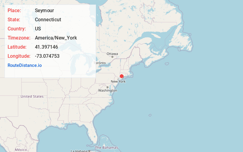
Full AddressSeymour, CT
-
Coordinates41.397146, -73.0747534
-
LocationSeymour , Connecticut , US
-
TimezoneAmerica/New_York
-
Current Local Time8:46:35 PM America/New_YorkThursday, June 5, 2025
-
Website
-
Page Views0
About Seymour
Seymour is a town located in New Haven County, Connecticut, United States. The town is part of the Naugatuck Valley Planning Region. The population was 16,748 at the 2020 census.


Nearby Places
Found 10 places within 50 miles

Beacon Falls
3.2 mi
5.1 km
Beacon Falls, CT 06403
Get directions

Ansonia
3.5 mi
5.6 km
Ansonia, CT
Get directions

Bethany
4.4 mi
7.1 km
Bethany, CT 06524
Get directions

Woodbridge
4.6 mi
7.4 km
Woodbridge, CT 06525
Get directions

Derby
5.3 mi
8.5 km
Derby, CT
Get directions

Shelton
5.7 mi
9.2 km
Shelton, CT 06484
Get directions

Naugatuck
6.3 mi
10.1 km
Naugatuck, CT
Get directions

Spring Glen
8.9 mi
14.3 km
Spring Glen, Hamden, CT 06517
Get directions

Hamden
9.0 mi
14.5 km
Hamden, CT
Get directions

Cedar Land
9.5 mi
15.3 km
Cedar Land, Southbury, CT 06488
Get directions
Location Links
Local Weather
Weather Information
Coming soon!
Location Map
Static map view of Seymour, Connecticut
Browse Places by Distance
Places within specific distances from Seymour
Short Distances
Long Distances
Click any distance to see all places within that range from Seymour. Distances shown in miles (1 mile ≈ 1.61 kilometers).