Distance to Quitsna, North Carolina

Calculating Your Route
Just a moment while we process your request...
Location Information
-
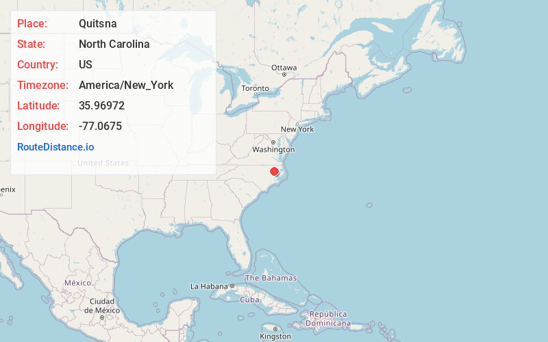
Full AddressQuitsna, NC 27983
-
Coordinates35.96972, -77.0675
-
LocationQuitsna , North Carolina , US
-
TimezoneAmerica/New_York
-
Current Local Time1:46:07 PM America/New_YorkWednesday, June 18, 2025
-
Page Views0
About Quitsna
Quitsna is an unincorporated community in southern Bertie County, North Carolina, United States, in the coastal plain, approximately 202 miles from Washington, D.C. It is located on Quitsna Road, and Indian Woods Road, west of Grabtown. Indian Woods Baptist Church is located in Quitsna.
Nearby Places
Found 10 places within 50 miles

Drew
5.6 mi
9.0 km
Drew, NC 27983
Get directions
Ballard
6.4 mi
10.3 km
Ballard, NC 27892
Get directions
Cahaba
7.0 mi
11.3 km
Cahaba, NC 27849
Get directions

Windsor
7.1 mi
11.4 km
Windsor, NC 27983
Get directions
Republican
7.8 mi
12.6 km
Republican, NC 27983
Get directions

Williamston
8.0 mi
12.9 km
Williamston, NC 27892
Get directions

Hamilton
8.1 mi
13.0 km
Hamilton, NC
Get directions
Ellis Store
10.5 mi
16.9 km
Ellis Store, NC 27983
Get directions

Everetts
11.0 mi
17.7 km
Everetts, NC
Get directions
Francis Mill
11.7 mi
18.8 km
Francis Mill, NC 27805
Get directions
Location Links
Local Weather
Weather Information
Coming soon!
Location Map
Static map view of Quitsna, North Carolina
Browse Places by Distance
Places within specific distances from Quitsna
Short Distances
Long Distances
Click any distance to see all places within that range from Quitsna. Distances shown in miles (1 mile ≈ 1.61 kilometers).