Distance to Rabbit Town, Kentucky

Calculating Your Route
Just a moment while we process your request...
Location Information
-
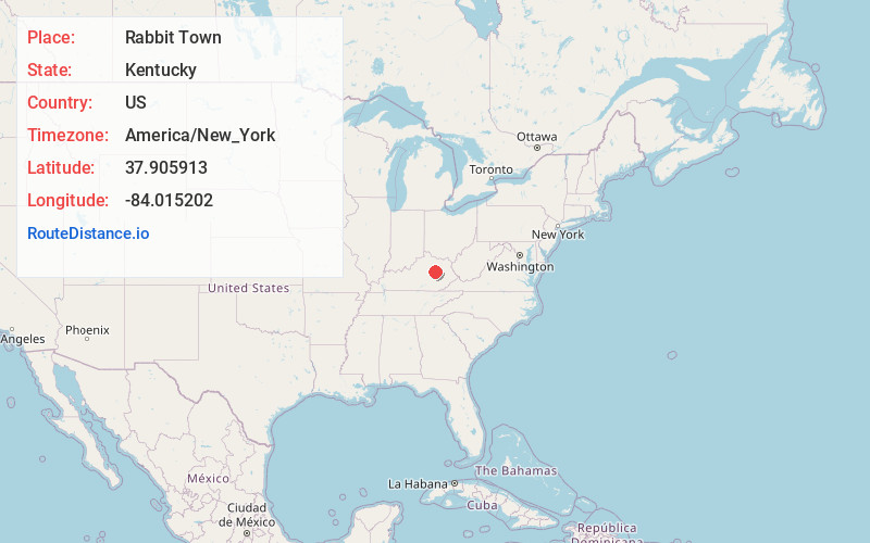
Full AddressRabbit Town, KY 40391
-
Coordinates37.9059134, -84.0152018
-
LocationRabbit Town , Kentucky , US
-
TimezoneAmerica/New_York
-
Current Local Time7:24:01 AM America/New_YorkThursday, June 19, 2025
-
Page Views0
About Rabbit Town
Rabbit Town is an unincorporated community in Clark County, Kentucky, United States.
Nearby Places
Found 10 places within 50 miles

Westbend
2.5 mi
4.0 km
Westbend, KY 40312
Get directions
Log Lick
3.4 mi
5.5 km
Log Lick, KY 40391
Get directions
Virden
3.7 mi
6.0 km
Virden, KY 40312
Get directions
Kiddville
3.9 mi
6.3 km
Kiddville, KY 40391
Get directions
Vianna
5.0 mi
8.0 km
Vianna, KY 40391
Get directions

Clay City
6.2 mi
10.0 km
Clay City, KY 40312
Get directions
Pinchem
8.0 mi
12.9 km
Pinchem, KY 40391
Get directions
Doylesville
9.0 mi
14.5 km
Doylesville, KY 40475
Get directions

Camargo
9.2 mi
14.8 km
Camargo, KY 40353
Get directions

Stanton
9.5 mi
15.3 km
Stanton, KY 40380
Get directions
Location Links
Local Weather
Weather Information
Coming soon!
Location Map
Static map view of Rabbit Town, Kentucky
Browse Places by Distance
Places within specific distances from Rabbit Town
Short Distances
Long Distances
Click any distance to see all places within that range from Rabbit Town. Distances shown in miles (1 mile ≈ 1.61 kilometers).