Distance to Rabun Gap, Georgia

Calculating Your Route
Just a moment while we process your request...
Location Information
-
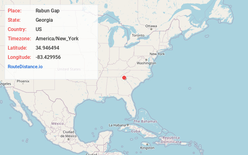
Full AddressRabun Gap, GA 30568
-
Coordinates34.9464937, -83.4299562
-
LocationRabun Gap , Georgia , US
-
TimezoneAmerica/New_York
-
Current Local Time3:12:35 AM America/New_YorkSaturday, May 31, 2025
-
Page Views0
About Rabun Gap
Rabun Gap is an unincorporated community in Rabun County, Georgia, United States. The community is located along U.S. Route 23/441 south of Dillard. Rabun Gap has a post office with ZIP code 30568.
The community takes its name from the mountain pass in which it is situated.


Nearby Places
Found 10 places within 50 miles

Dickerson Mill
0.9 mi
1.4 km
Dickerson Mill, GA 30568
Get directions

Dillard
2.9 mi
4.7 km
Dillard, GA 30537
Get directions

Mountain City
3.2 mi
5.1 km
Mountain City, GA
Get directions
Kilby Mill
3.6 mi
5.8 km
Kilby Mill, GA 30525
Get directions
Germany
4.1 mi
6.6 km
Germany, GA 30525
Get directions
Orlando
4.9 mi
7.9 km
Orlando, NC 28763
Get directions

Clayton
5.0 mi
8.0 km
Clayton, GA 30525
Get directions
Straw Mountain
5.7 mi
9.2 km
Straw Mountain, Georgia 30525
Get directions
Persimmon
5.8 mi
9.3 km
Persimmon, GA 30525
Get directions

Warwoman Dell
6.3 mi
10.1 km
Warwoman Dell, Georgia 30525
Get directions
Location Links
Local Weather
Weather Information
Coming soon!
Location Map
Static map view of Rabun Gap, Georgia
Browse Places by Distance
Places within specific distances from Rabun Gap
Short Distances
Long Distances
Click any distance to see all places within that range from Rabun Gap. Distances shown in miles (1 mile ≈ 1.61 kilometers).