Distance to Clayton, Georgia

Calculating Your Route
Just a moment while we process your request...
Location Information
-
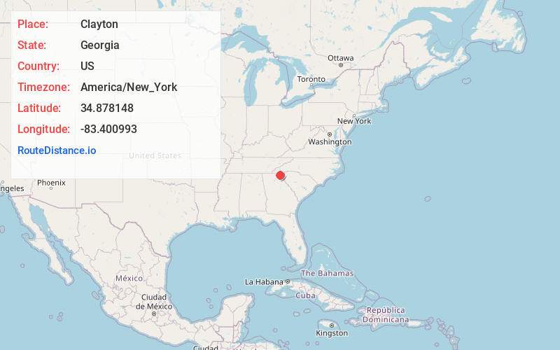
Full AddressClayton, GA 30525
-
Coordinates34.8781479, -83.4009933
-
LocationClayton , Georgia , US
-
TimezoneAmerica/New_York
-
Current Local Time11:57:27 AM America/New_YorkThursday, June 19, 2025
-
Page Views0
About Clayton
Clayton is a city in Rabun County, Georgia, United States. Its population was 2,003 at the 2020 census. The county seat of Rabun County, it is in the Blue Ridge Mountains.


Nearby Places
Found 10 places within 50 miles

Walhalla
20.7 mi
33.3 km
Walhalla, SC
Get directions

Franklin
21.0 mi
33.8 km
Franklin, NC 28734
Get directions

Toccoa
21.1 mi
34.0 km
Toccoa, GA
Get directions

Demorest
23.1 mi
37.2 km
Demorest, GA 30535
Get directions

Cornelia
26.3 mi
42.3 km
Cornelia, GA
Get directions

Baldwin
27.8 mi
44.7 km
Baldwin, GA
Get directions

Cleveland
28.3 mi
45.5 km
Cleveland, GA 30528
Get directions

Seneca
28.7 mi
46.2 km
Seneca, SC
Get directions

Raoul
31.1 mi
50.1 km
Raoul, GA 30510
Get directions

Cullowhee
32.7 mi
52.6 km
Cullowhee, NC 28723
Get directions
Location Links
Local Weather
Weather Information
Coming soon!
Location Map
Static map view of Clayton, Georgia
Browse Places by Distance
Places within specific distances from Clayton
Short Distances
Long Distances
Click any distance to see all places within that range from Clayton. Distances shown in miles (1 mile ≈ 1.61 kilometers).